
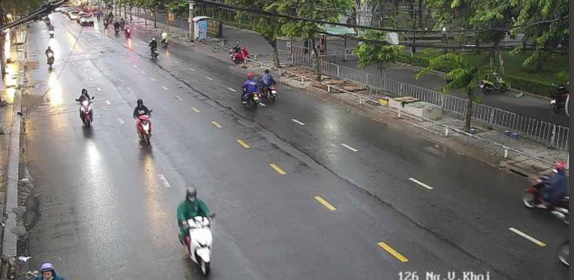
In the afternoon of July 25, dense black clouds appeared in many areas of Ho Chi Minh City, followed by showers and thunderstorms. The rain came during rush hour, causing traffic on some routes to slow down, and many people had to stop their vehicles to wear raincoats or shelter from the rain.
Monitoring on satellite cloud images, weather radar images and lightning positioning shows that thunderstorm clouds are developing strongly, causing showers with thunderstorms and lightning in many areas of Ho Chi Minh City and Dong Nai, Tay Ninh, Lam Dong, Dong Thap provinces and some neighboring areas.
In Ho Chi Minh City, thunderstorms appear in many wards and communes such as Tam Thang, Rach Dua, Phuoc Hai, Phuoc Thang, Long Hai, Long Son, Long Dien, Ba Ria, Dat Do, Long Huong, Chau Pha, Xuyen Moc, Binh Chau, Ho Tram, Cu Chi, Tan An Hoi, Cau Ong Lanh, Ben Thanh... The radar response intensity is commonly from 30-51 dBZ, some places reaching over 50 dBZ, showing strong convective cloud development.
In Dong Nai, thunderstorms are covering many areas such as Song Ray, Cam My, Xuan Dong, Tam Phuoc, Phuoc Tan, Long Binh, Trang Bom, Dau Giay, Binh Minh, Ho Nai, Tam Hiep, Gia Kiem, Xuan Bac, Bu Dang... with a common intensity of 35-50 dBZ.
In Tay Ninh, thunderstorms appear in the areas of Binh Thanh, Binh Hiep, Hiep Hoa, Hau Nghia, An Ninh, Trang Bang, An Tinh, Long Hoa, Duong Minh Chau... with a common intensity of 30-50 dBZ. In addition, thunderstorms also appear locally in some areas of Dong Thap.
Forecast for the next 0-3 hours, thunderstorms will continue to develop, causing showers and thunderstorms with lightning in the above-mentioned areas, then tend to expand to neighboring areas. Common rainfall is from 10-40 mm, in some places over 60 mm.
During thunderstorms, people need to be wary of tornadoes, lightning, hail, strong gusts of wind at level 5-8 (8-21 m/s) and heavy rain causing localized flooding.
The cause of thunderstorms is due to the Southwest monsoon operating with moderate to strong intensity, combined with the south of the low pressure trough with its axis passing through the middle of the East Sea connecting to the storm center operating in the East Sea, creating favorable conditions for convective clouds to develop strongly.


