
At noon on August 7, thunderstorms are existing in the Tay Ninh area and tend to move towards Ho Chi Minh City, forecast to cause showers and thunderstorms in the western wards and communes including Binh Loi, Tan Nhut and the south including Can Gio, Thanh An.
In the next few hours, this cloud area will continue to expand, affecting communes and wards such as Thai My, Tan An Hoi, Cu Chi, Nhuan Duc, Xuan Thoi Son, Hoc Mon, Ba Diem, Trung My Tay, Binh Hung Hoa, Binh Tan, Binh Tri Dong, Tan Tao, An Lac, Vinh Loc, Binh Chanh (belonging to Cu Chi, Binh Chanh, old Binh Tan areas), and also spreading to Rach Dua, Long Son, Phuoc Thang, Long Dien and Long Hai areas (old Vung Tau).
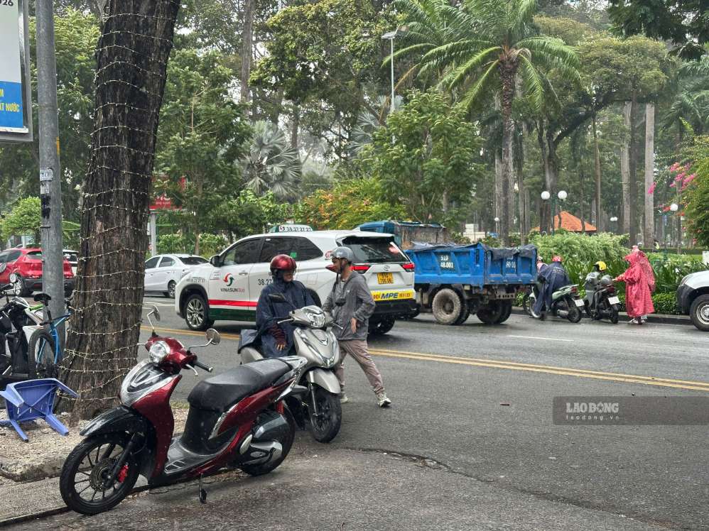
Common rainfall from 5-20 mm in 3 hours, in some places over 30 mm. During thunderstorms, it is necessary to watch out for tornadoes, lightning, hail and strong gusts of wind at level 5-7 (8-17 m/s).
Forecast for the next 3 days, the weather in the South will be mainly sunny during the day, with thunderstorms in the afternoon and evening, with locally moderate to heavy rain. Rain occurring during rush hour may affect travel, people should proactively bring raincoats or umbrellas, and reduce speed when traveling because visibility is limited. At night, rain will only appear scattered in a few places.


