
On the morning of August 25, in an exchange with a reporter from Lao Dong Newspaper, Mr. Le Hong Thai - Chairman of the People's Committee of Nhon Mai commune (Nghe An province) said that on August 24, prolonged heavy rain, along with water from upstream pouring in quickly, caused the water level in rivers and streams in the area to rise, causing flooding on some roads and posing a potential risk of landslides and division of residential areas.
Previously, in the afternoon of August 24, floodwaters from upstream rushed into rivers and streams in the border commune of Nhon Mai, at times overflowing the traffic road surface. Local authorities have organized inspections of key areas, monitoring points at risk of flooding and landslides to proactively respond.
In the Hy stream area, the water flowed strongly. During heavy rain, an ancient banyan tree was uprooted and fell into the suspension bridge area leading to Tan Mai village, causing a risk of affecting the safety of the project.
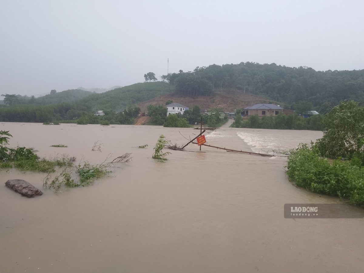
Tan Mai village has nearly 100 households. During the time of rising floodwaters, this area is facing the risk of being cut off if the suspension bridge is affected.
Heavy rain also caused landslides on National Highway 16 through Nhon Mai commune. A negative taluy landslide point stretches about 5m, penetrating about one-third of the road surface, affecting the traffic of vehicles. In some residential areas, soil and rocks and power poles were also landslides and collapsed, but no casualties have been recorded.
At the same time, on National Highway 16 section passing through Pieng Pho village, Nam Can commune, a large amount of soil and rock from the positive slope slid down, almost covering the road surface about 6m wide.
A 5-seater car was trapped in the mud, but no one was injured. The road management unit mobilized machinery to the scene to level soil and rocks, remove vehicles from the dangerous area and open temporary passages for people to pass through.
Due to the large amount of soil and rock landslides, at times the road surface was only about one meter wide for traffic. Many other locations on National Highway 16 through Nam Can commune also appeared mud and soil and rocks overflowing onto the road surface.
On National Highway 7, many blocks of soil and rock and sludge from the positive taluy also spilled onto the road surface. Functional forces have organized clearing, clearing the flow and warning in areas at risk of further landslides.
Heavy rain also affects many local roads in the mountainous region of Nghe An.
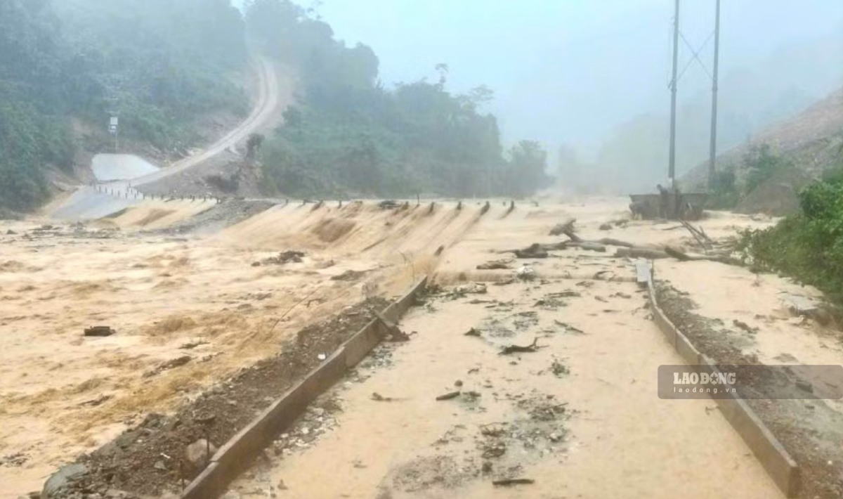
On provincial road 541B through Tam Thai commune, overflow bridges in Khoi, Xoong Con, Xop Nam and Phong villages at times were flooded more than 0.5m deep, making it impossible for people and vehicles to pass.
In Yen Hoa commune, a civil bridge was swept away by floodwaters. Local authorities must arrange vehicles to support people to cross the Hoi Nguyen stream if necessary.
In Na Ngan village, Nga My commune, the only road more than 20km long connecting the village with the commune center has dozens of landslide points. More than 150 households with nearly 740 people have difficulty traveling when the stream water rises and flows fast.


