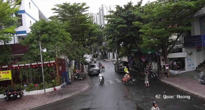
Recorded on some roads such as Quoc Huong, Thao Dien, Dinh Bo Linh... thunderstorms appeared. The rain came quickly, causing many people to be surprised and have to stop their vehicles to shelter from the rain by the roadside.
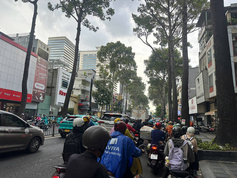
Thunderstorms are also developing, it is forecast that in the coming hours there will continue to be thunderstorms in Ho Chi Minh City. People need to be wary of extreme weather phenomena such as tornadoes, lightning and strong gusts of wind during thunderstorms.
Weather pattern forecast for the next 24-48 hours, the hot low pressure area in the West continues to expand southeast due to the impact of the increasing pressure part moving down from the North. From May 16, a low pressure trough with a Northwest - Southeast direction is established, crossing the Northern region down to the Southeast East Sea area.
Above, the subtropical high pressure has its axis crossing the South - South Central region and maintains stable intensity. In the southern sea areas, the Southwest wind operates with weak intensity.
Weather pattern forecast from 3-10 days, low pressure trough with Northwest - Southeast direction continues to squeeze through the South Central region. In the southern sea areas, Southwest winds maintain weak intensity and tend to gradually strengthen from around 19-20. 5.
Above, the subtropical high pressure with its axis passing through the South Central Coast tends to gradually recede southward and weaken. Around February 23-24, the subtropical high pressure is likely to encroach westward again, with its axis crossing the South Central Coast and the South.
Therefore, on May 16, hot sun appeared in the Southeast region, the highest temperature is commonly from 35-36 degrees C, in some places above 36 degrees C; the relative lowest humidity is commonly 55-60%. Other areas in the South also have localized hot sun with the highest temperature above 35 degrees C. From May 17, hot sun in these areas tends to end.


