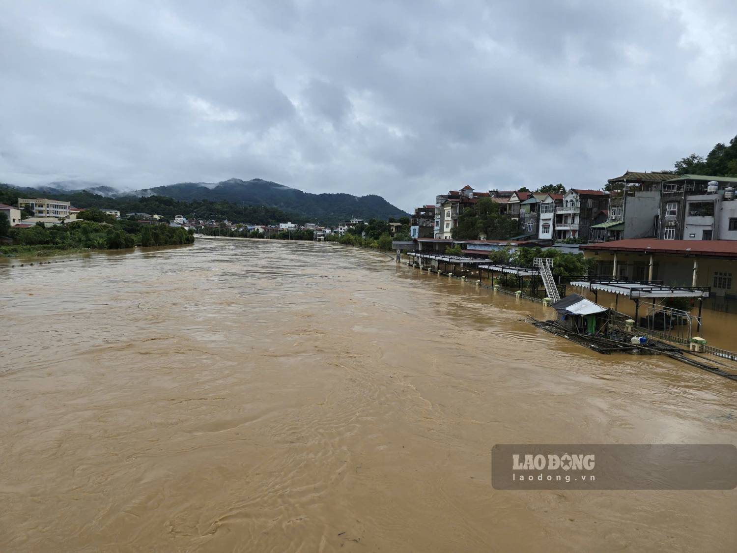
On October 15, the Cao Bang Provincial Hydrometeorological Station issued a flood warning on the Bang Giang River. According to the record at 10:00 a.m. the same day, the river water level reached 180.13 m, 0.37 m lower than alert level 1 but is continuing to increase.
From the afternoon and night of October 15, the Bang Giang River area is likely to experience a new flood, with a flood amplitude increase of 2-3m. It is forecasted that flood peaks on rivers and streams may reach alert level 2 to alert level 3 in the evening of the same day.
Rising water levels can cause local flooding in low-lying areas along the river, especially in Hoa An commune, Thuc Phan ward (Hien river area, formerly Hop Giang), Nung Tri Cao ward (electricity headquarters area) and Tan Giang ward.
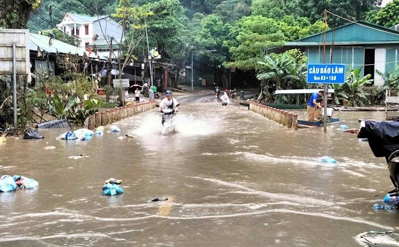
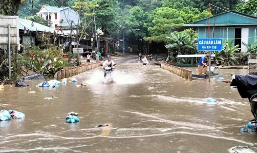
Prolonged heavy rain also causes some areas such as Thong Nong, Can Yen... to be flooded from the night of October 15 to the end of October 16.
The meteorological agency warns of a high risk of landslides in steep hills, slopes along traffic routes, and residential areas near small rivers and streams.
People need to pay special attention when traveling through suspension bridges and overflow culverts, and limit going out during flood times.
According to the provincial Hydrometeorological Station, the risk level of natural disasters due to floods is determined at level 1.
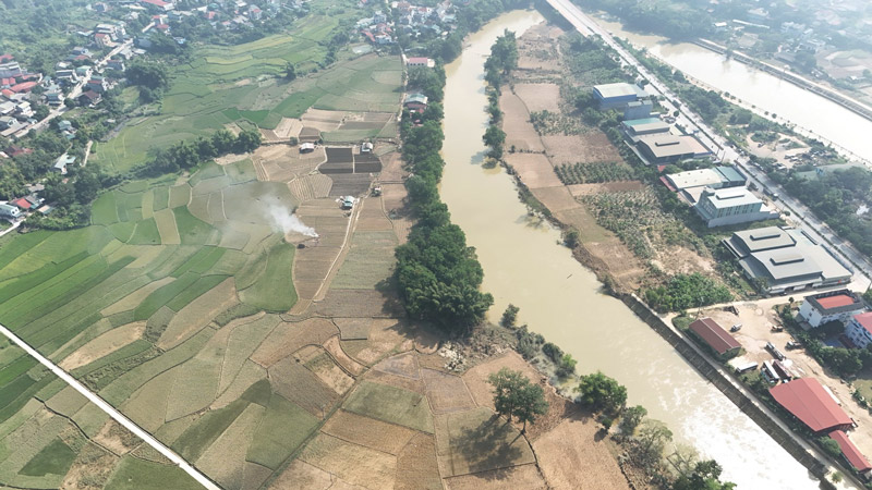
Floods, inundation and landslides can affect people's lives, agricultural production, aquaculture, transportation and industrial parks along the river.
Localities are advised to closely monitor flood developments, proactively deploy response plans, ensure safety for people and limit property damage.
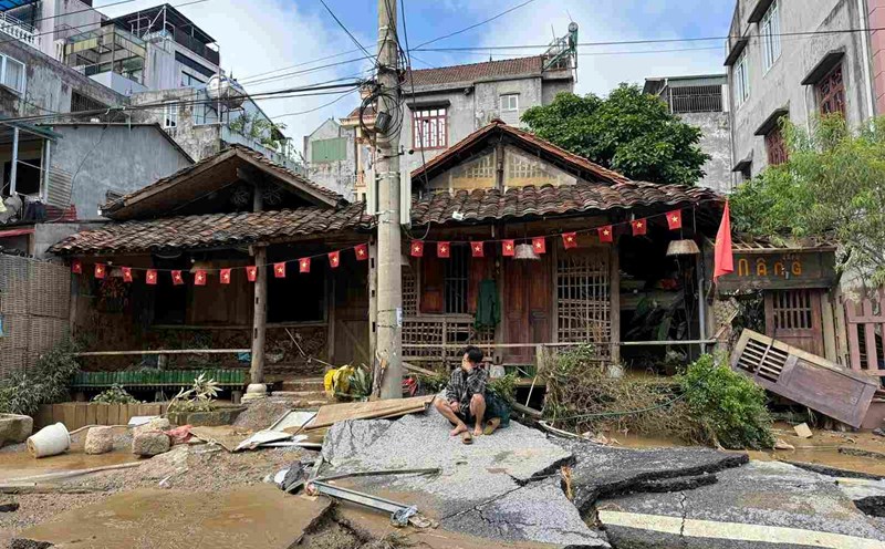
This is a flood that formed after the weather in Cao Bang has been continuously raining in the past 2 days, the return of floods is making people in the province extremely tired.
Most of the assets and crops of people in the central wards of the province were damaged by floodwaters from storms No. 10 and 11 (consecutive exceeding the warning level III), causing damage.