High tide combined with flood, Hau Giang at risk of widespread flooding

BÍCH NGỌC |

Hau Giang - The impact of storms, high tides combined with floods on the Hau River has caused water levels to rise, posing a risk of widespread flooding.

According to the forecast of the Hydrometeorological Station of Hau Giang province, from October to early November, the province will experience 2-3 large-scale heavy rains, with rainfall ranging from 320 - 400mm, 20 - 100mm higher than the average of many years.

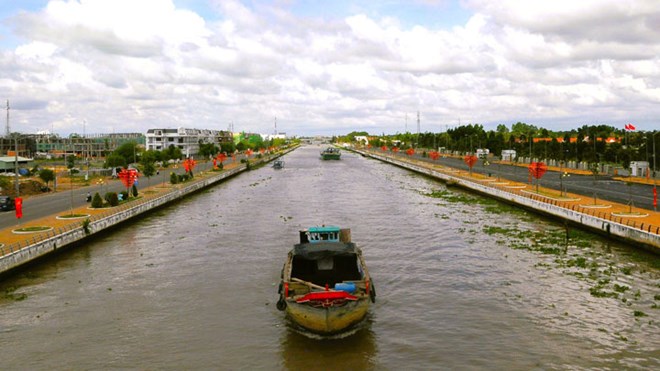
In October, the province experienced two high water levels from October 4 to 7 and October 18 to 24. The water level is forecast to exceed alert level III at Cai Con River by 0.15 to 0.28m, and at Xa No canal by 0.10 to 0.25m...

Anh: Ta Quang.
High tide levels in October in Hau Giang province are forecast to exceed alert level III. Photo: Ta Quang

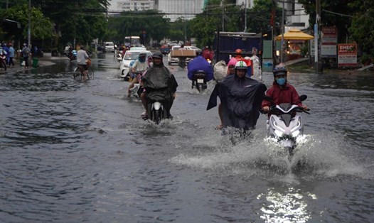
High tides and flood waters on the Hau River and possibly combined with heavy rain in places will cause water levels to rise, posing a risk of widespread flooding.

Hau Giang Province's Hydrometeorological Station also forecasts that from October to mid-November, storms, tropical depressions, heavy rains, floods, high tides and natural disasters such as tornadoes, floods, landslides... will be quite complicated.

To minimize damage caused by storms, high tides, and floods, the authorities of Hau Giang province recommend that localities proactively monitor developments and forecasts of rain and floods to promptly respond to unusual developments; promptly organize repairs and reinforcement of dike sections, embankments, and works at risk of incidents or showing signs of insecurity.

In addition, proactively operate irrigation works to effectively prevent and combat flooding, serve production, people's lives and ensure safety of works...

BÍCH NGỌC
RELATED NEWS

Ho Chi Minh City will issue new regulations on land separation and consolidation in March

|

Ho Chi Minh City will issue a decision stipulating the conditions for land plot separation and consolidation and the minimum area for plot separation in the area in March 2026.

Google Maps starts updating new administrative maps in Vietnam

|

On March 18, many Google Maps users discovered that the application had updated maps according to new administrative boundaries.

Roadmap for illegal dumping from the Lao Cai Central Social Housing Project

|

Lao Cai - Reporters' records show that waste soil from the Yen Ninh social housing project is not transported to the licensing point but is constantly changing locations.

Many officials in Ca Mau have to retake civil servant and public employee exams

|

Tomorrow, March 19, many leading officials in Ca Mau will take recruitment exams for civil servants and public employees even though they have worked for a long time.

VGCL holds working meeting to prepare for the 14th Vietnam Trade Union Congress

|

Hanoi - March 18, the VGCL organized meetings of sub-committees to prepare for the 14th Vietnam Trade Union Congress, term 2026 - 2031.

New developments in thunderstorms and high tides causing flooding in the South

HẠ MÂY |

Thunderstorms continue in the Southern region, mainly in the afternoon and evening.

High tides overlap floods, farmers are on duty pumping water to save rice

VÂN HI |

After the impact of storm No. 3, many rice and crop areas of farmers in the West continue to be threatened by thunderstorms and high tides.

Hậu Giang sắp có cầu 1.600 tỉ đồng qua kênh xáng Xà No

BÍCH NGỌC |

Hậu Giang - Cầu Nguyễn Chí Thanh có tổng mức đầu tư khoảng 1.600 tỉ đồng, dự kiến sẽ khởi công vào năm sau.