On the afternoon of September 23, thunderstorms are developing and causing rain, thunderstorms, and lightning in the Can Gio area. In addition, thunderstorms in the Long An area also tend to move toward Ho Chi Minh City.
In the next 0 - 3 hours, thunderstorms will continue to develop, causing showers, accompanied by thunderstorms and lightning in the above districts, then expanding to other neighboring areas.
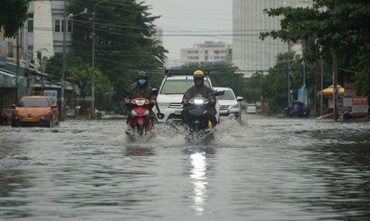
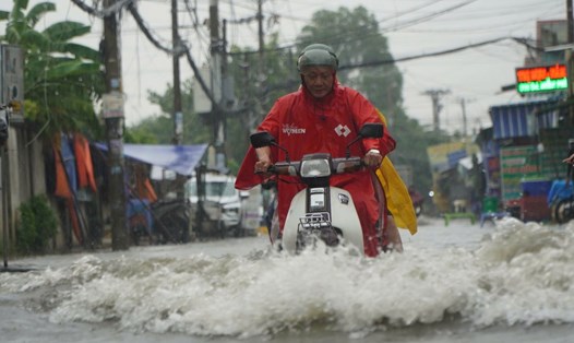
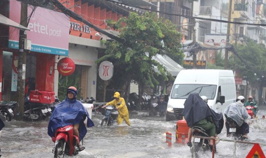
Rainfall is generally from 5-15mm, some places over 15mm. During thunderstorms, beware of tornadoes, hail and strong gusts of wind around level 5-7 (8-17m/s), heavy rain causing localized flooding.
The cause of thunderstorms in the region is due to the continental high pressure strengthening in the North. The tropical convergence zone has an axis crossing the North Central region. The southwest monsoon operates with medium to weak intensity. Above, the subtropical high pressure encroaches on the West and crosses the South.
Regarding high tide, the water level at Ta Lai station (Dong Nai river) is falling slowly; Phu Hiep station (La Nga river) is rising slowly and is still at a high level.
At 1:00 p.m. on September 23, the actual water level measured at Ta Lai station was 112.47m (0.03m below alarm level II); Phu Hiep station was 103.31m (0.19m below alarm level II).
Water levels at stations downstream of the Saigon - Dong Nai river system will continue to drop rapidly over the next 5 days. The highest daily tide will remain at approximately alert level I until the end of September 24.
Water levels in rivers and streams remain high, potentially causing flooding in low-lying areas and riverside areas, affecting economic and social activities in the area.