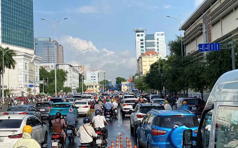
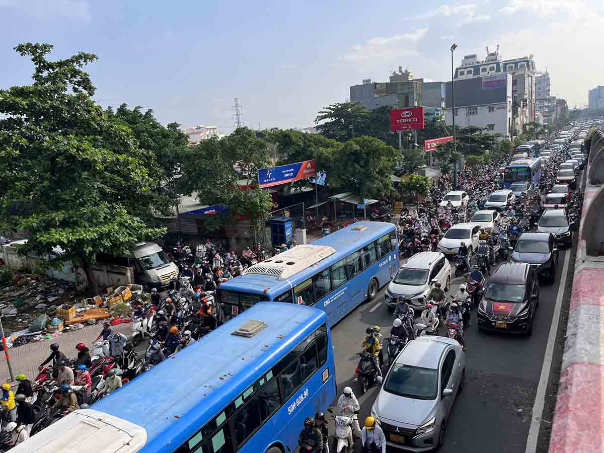
At around 7:30 a.m., the prolonged heavy rain began to fall right at the time when people poured into the streets to go to work and school. After the rain, many main roads leading to the city center such as Nguyen Tat Thanh, Nguyen Huu Canh, Ton Duc Thang, Dinh Tien Hoang, Ba Son Bridge area... were congested for a long time.
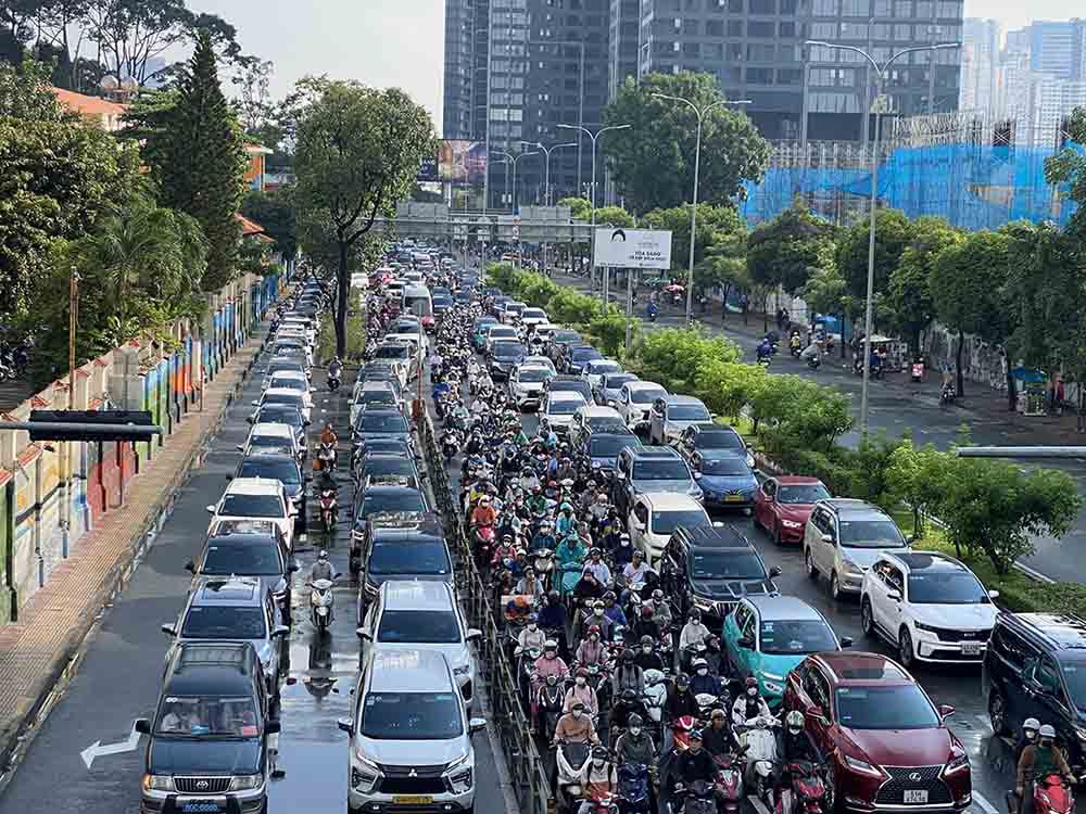
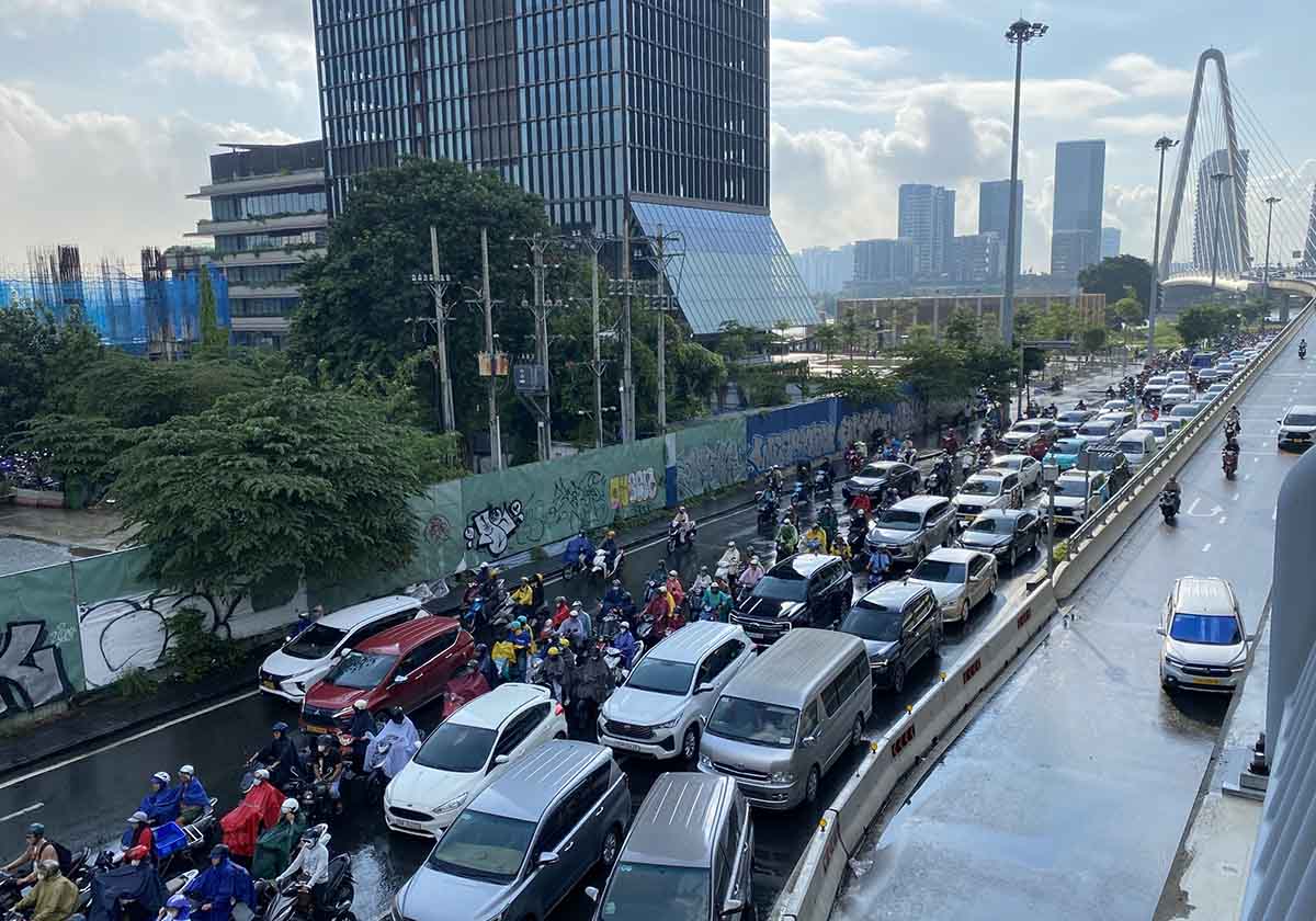
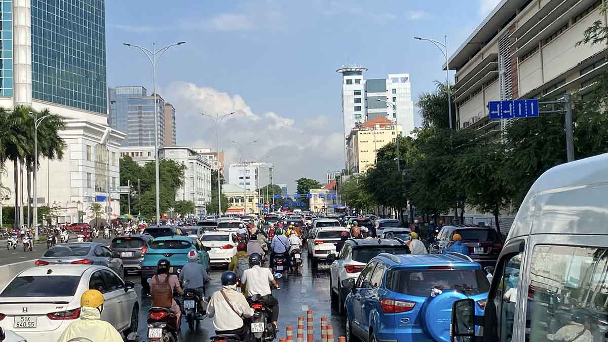
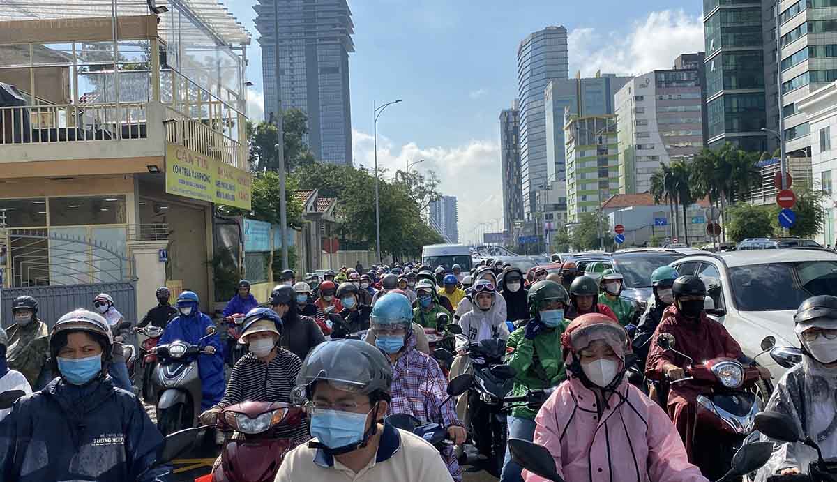
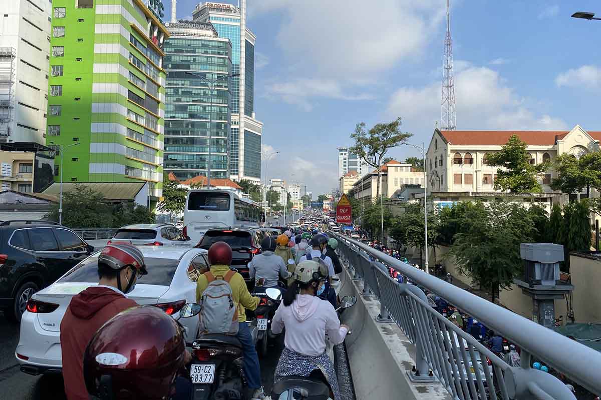
Mr. Tran Bao, a resident of Binh Quoi ward, said that this morning he left the street at around 7am but it took him nearly an hour to travel less than 3km.
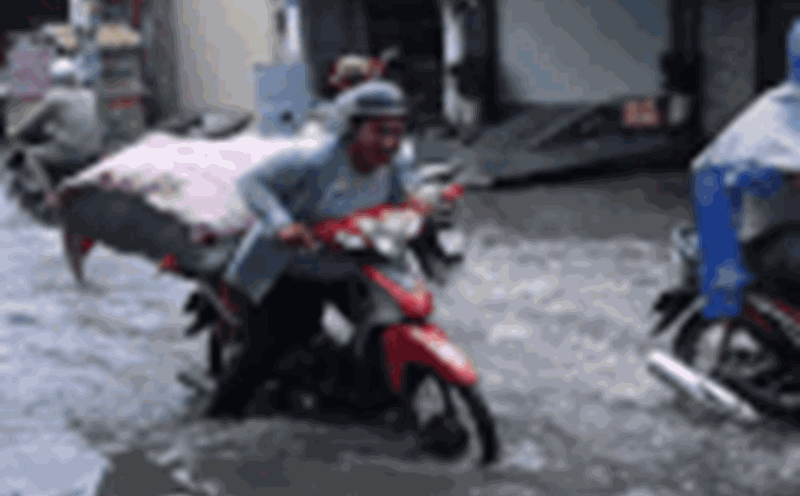
"Every time it rains, there are jams. Not only the delay but also the danger of poor visibility, motorbikes can easily slip and fall, but now I'm sure I'm late for work," he shared.
According to the Southern Hydrometeorological Station, the weather pattern causing thunderstorms in Ho Chi Minh City is due to the tropical convergence zone with an axis through the middle of the East Sea connecting with storm Matmo in the East of the Philippines. The southwest monsoon in the South has weak intensity. Above, the subtropical high pressure will encroach to the West and be active.
Early in the morning of the same day, thunderstorms are developing strongly, causing rain accompanied by thunderstorms and lightning in many areas of Ho Chi Minh City and neighboring localities. Thunderstorms appeared in the communes: Phuoc Hai, Dat Do, Ho Tram, Hoa Hoi, Hoa Hiep, Tan Nhut, Binh Loi, Tan Vinh Loc, Ba Diem, Xuan Thoi Son, Hoc Mon, Cu Chi, Tan An Hoi, Thai My, Phu Hoa Dong, An Nhon Tay (Cu Chi Geored Relic Site),...
In the coming hours, thunderstorms will continue to develop, causing showers, accompanied by thunderstorms and lightning in the above areas, then expanding to other neighboring areas. Rainfall is generally from 5 - 20 mm, in some places over 30 mm. During thunderstorms, beware of tornadoes, hail and strong gusts of wind of about level 5 - 7 (8 - 17 m/s), heavy rain causing local flooding.