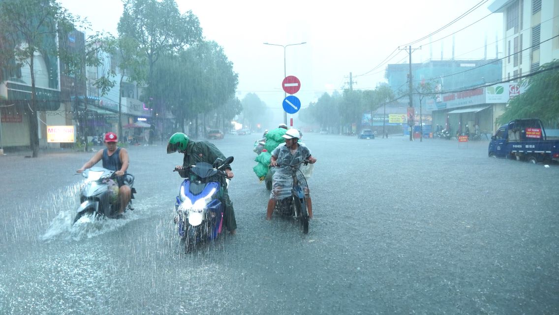
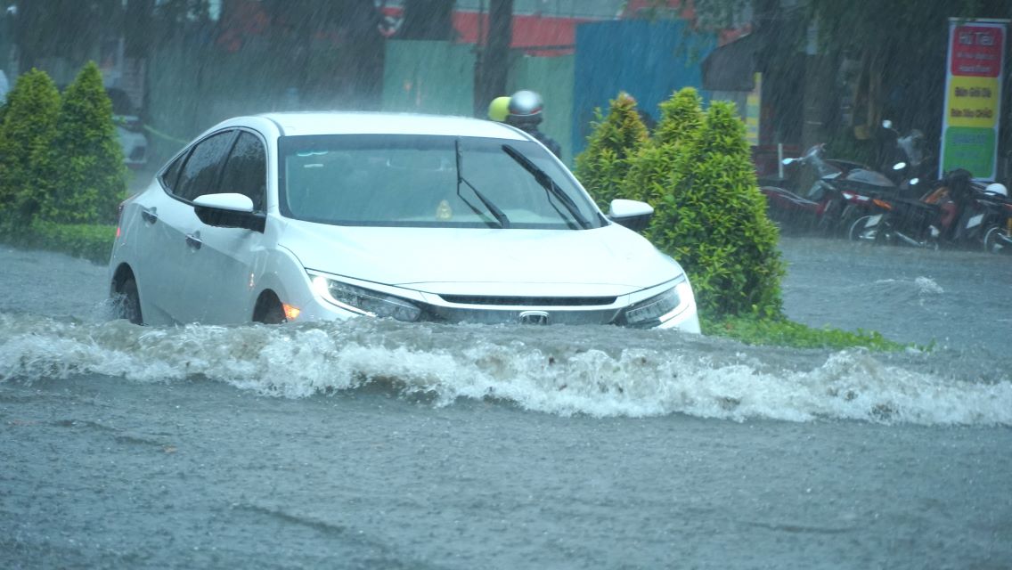
On November 1, the Can Tho City Hydrometeorological Station issued a flood warning bulletin in the area with a level 2 risk of natural disasters due to high tides.

According to the Can Tho City Hydrometeorological Station, in the past 2 days, due to the influence of the high tide in early October of the lunar calendar, the peak water level is rising. The highest peak water level appeared on October 30 on the Hau River, at the Can Tho Hydrometeorological Station Hmax at 3:00 a.m. was 1.73, 0.07m below alarm level 1.
Mr. Le Sy Vinh - Deputy Director of Can Tho City Hydrometeorological Station said that the peak water level on rivers and canals in Can Tho City continued to rise at a high level and exceeded alert level 3 on November 4-5 (ie October 4-5 of the lunar calendar).

The Deputy Director of the Can Tho City Hydrometeorological Station added that this is a high tide with a peak tide exceeding the alarm level 3. It is necessary to pay attention to bad weather due to the disturbances of the high-altitude easterly wind zone operating strongly and maintaining continuous stability, so on days of high tide combined with heavy rain, it will cause flooding in low-lying areas and inner-city areas along the river of the city.


