On April 14, the Department of Finance of Khanh Hoa province said that it had been assigned by the Provincial People's Committee to preside over and coordinate with relevant agencies to study the proposal of businesses on the Co Tien Mountain Mixed-Use Urban Area project in Bac Nha Trang ward.
Accordingly, the Department of Finance is responsible for guiding investors to carry out procedures in accordance with legal regulations, and at the same time coordinate with relevant agencies, units and localities in the process of considering and researching project proposals.
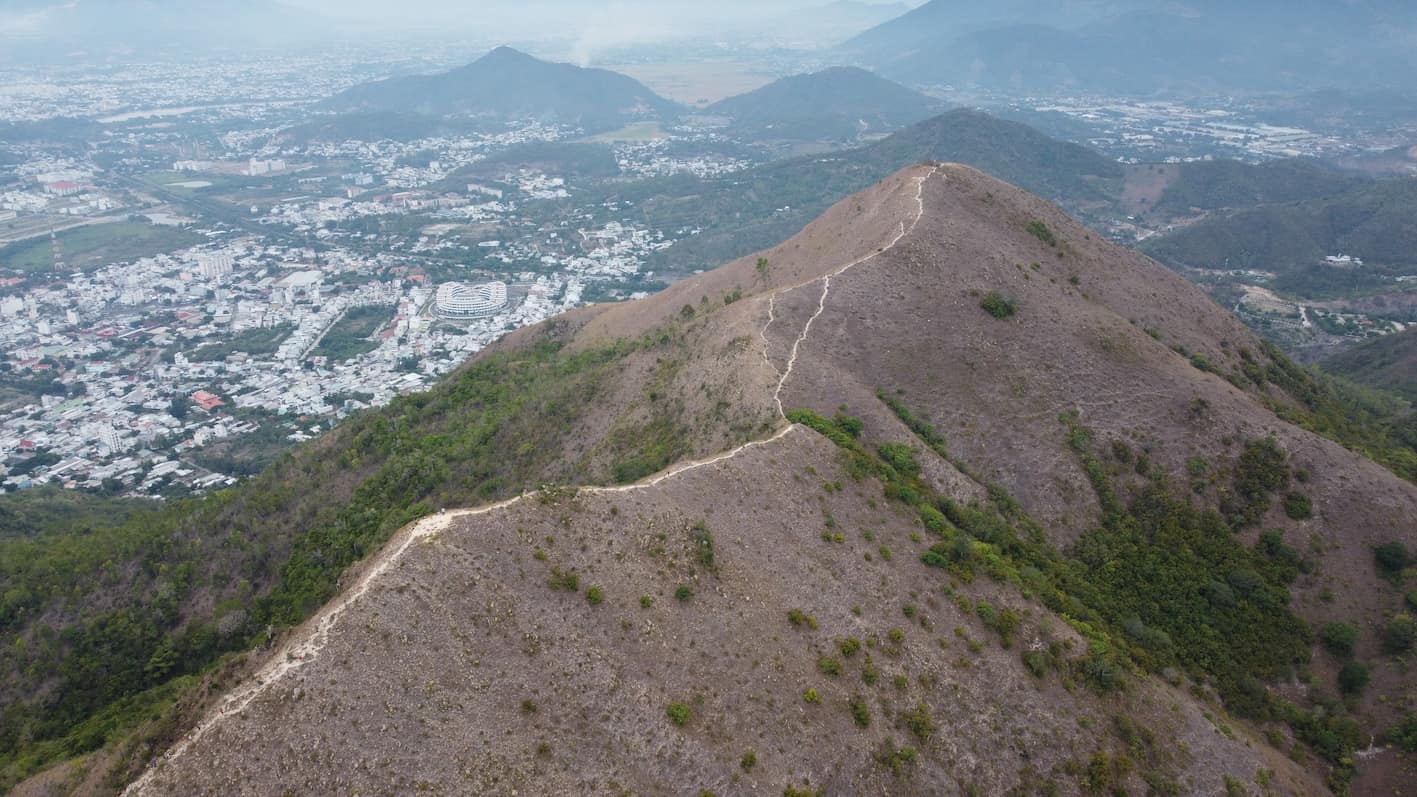
Through surveys, investors identified that the Co Tien mountain area in Bac Nha Trang ward has a favorable geographical location, unique natural landscape, and rich potential to develop modern urban types associated with trade - services, resort tourism, entertainment and cultural - spiritual space, towards international standards.
On that basis, the investor proposed to study a mixed-use urban area project to expand the urban space, promote the development of the northern area of Nha Trang, and at the same time contribute to reducing population and infrastructure pressure for the central area.
According to the proposal, the project has the main information of the Co Tien Mountain Mixed Urban Area project in Bac Nha Trang ward, with a scale of about 1,140ha.
The investment objective of the project is to build a synchronous urban area in terms of technical and social infrastructure, associated with housing development (the current status of the land area has not been cleared).
The project will be bid for a land-using project with progress from the second quarter of 2026 to the fourth quarter of 2036.
At the beginning of 2026, the zoning plan (scale 1/2. 000) of Co Tien mountain area will be consulted by the locality with opinions from individuals, organizations, and residential communities.
The area for planning the sub-area of Co Tien mountain area, Bac Nha Trang ward has a total research area of 1,309.3ha.
In which, the planning boundary is about 551.5ha. The remaining area of 757.8ha is hilly land and forestry land to connect and cover the zoning plan.
The population scale of this area is expected to be about 12,600 people by 2030, and about 16,100 people by 2040.
The goal of the plan is to develop service areas and mountain ecological tourism to exploit the unique landscape value of the old Nha Trang city.
Regarding land use targets, the residential land group has a scale of nearly 53.4ha, accounting for about 4.05%; mixed housing and service land is about 34.2ha (2.61%); service land is about 18.62ha (1.42%); tourism land is about 208.3ha (15.91%); public-use green land is about 132.9ha (10.15%); traffic land is about 65ha (4.96%) and other functional land types.
The zoning plan is established on the basis of complying with the adjusted plan of the general plan of Nha Trang city to 2040 approved by the Prime Minister.


