On April 11, people on Guam Island are urgently preparing to cope with Typhoon Sinlaku as this system shows signs of rapidly strengthening. The meteorological agency has issued a storm warning, showing the possibility that the storm will reach strong intensity and directly impact this area at the beginning of the week.
According to the US National Weather Service in Guam, strong tropical storm winds may begin to appear from the morning of April 12, but the most dangerous condition is likely to fall on April 13. Experts warn that Guam may experience 48 to 60 hours of continuous bad weather, with strong gusts and prolonged heavy rain.
One of the biggest concerns is extreme rainfall. Estimates from satellite data show that some areas may record 500-900 mm of rain in just 24 hours. If this scenario occurs, the risk of widespread flash floods and flooding is very high, especially in low-lying areas or areas with weak drainage systems.
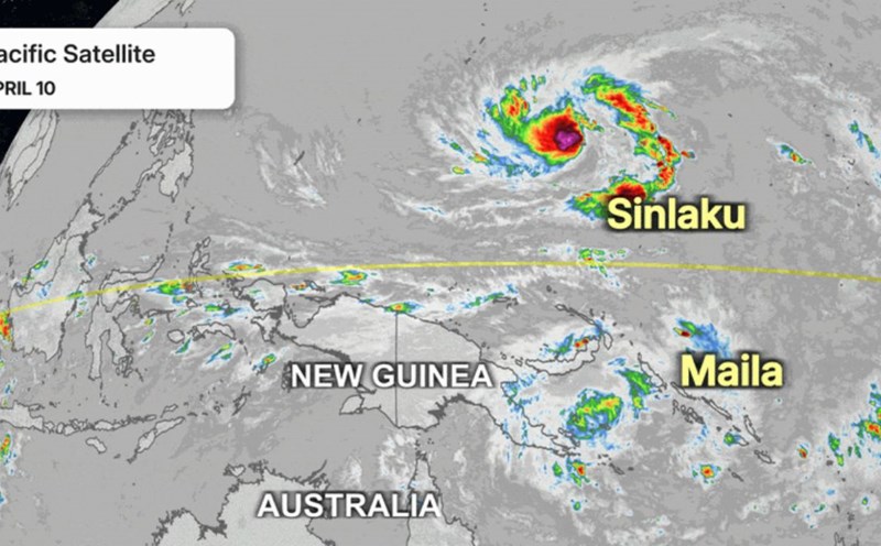
Currently, the storm's eye is operating strongly in the Chuuk state area (Micronesia) with winds of about 110 km/h. Worryingly, this system tends to move slowly, causing prolonged heavy rain concentrated in one area, increasing the risk of serious flooding.
The latest storm forecast models show that Typhoon Sinlaku may continue to strengthen as it approaches the Mariana Islands, where Guam is directly affected. Some scenarios even suggest that the storm may reach an intensity equivalent to level 4 when passing through this area, with winds up to over 200 km/h.
Although there are still errors in the path, the forecast trend in the past 24-36 hours shows that the storm's trajectory is getting closer to Guam. Experts assess that the probability of a "serious weather event" for this island is currently around 30-40%, a number enough to trigger high-level precautions.
In addition to heavy rain, the storm also brings large waves and dangerous high tides, especially in coastal areas in the west. Strong sea conditions can cause coastal erosion and threaten near-shore structures.
In the community, people have begun to stockpile drinking water, food and reinforce houses. Some households said they have closed their doors to prevent storms, prepared backup batteries and checked domestic water sources in case of prolonged power outages.
Local authorities warned that if the storm makes direct landfall, rainfall could reach levels equivalent to or even exceeding previous major storms such as Mawar, which caused serious flooding on the island.