On June 6, the working delegation of the Urban Committee of Hai Phong City People's Council directly inspected the current situation and learned about the legal origin of narrow, interspersed land plots in residential areas in Thanh Lieu residential group, Tan Hung ward.
According to surveys, Land Area 1 and Land Area 2 in Thanh Lieu Residential Group are under the management of the Ward People's Committee. The land areas have an area according to cadastral measurements of about 172 m2, the actual measured area ranges from 129 - 172 m2 depending on each plot; the total area of the land areas is from about 1,100 m2 to 3,725 m2, depending on the number of plots compiled in the extract.
Some areas currently have auxiliary works, temporary houses or are being temporarily used by households. The land plots are all located deeply interspersed in existing residential areas, small in scale, with gardens and assets attached to the land.
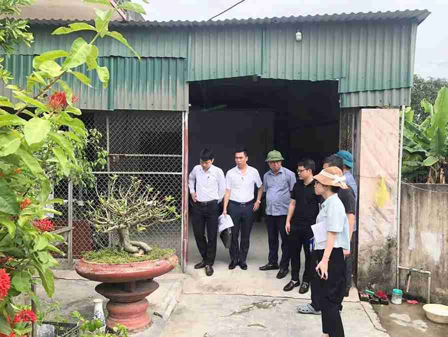
At the inspection, members of the delegation surveyed the actual land use situation; compared the current status with data in the land origin extract; recorded assets attached to land such as temporary houses, auxiliary works, orchards, and surveyed surrounding environmental conditions, technical infrastructure and the level of impact on the general urban planning of the ward.
The delegation also preliminarily assessed the feasibility of measuring and inventorying and proposed handling directions according to the provisions of law.
The comparison between the extract of the ward's land origin and the actual situation is identified as an important step to ensure accuracy and transparency in land management.
Because the land plots are mainly small-scale, interspersed in residential areas, there is a potential risk of disputes arising or affecting urban planning. The survey results will be an important basis for the City People's Council to consider and issue appropriate resolutions, contributing to removing difficulties for people and local authorities.


