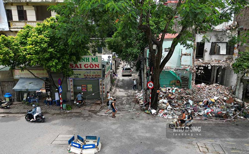
On September 3, at the Co Trai village cultural house, Dai Xuyen commune, the Investment - Infrastructure Project Management Board coordinated with relevant units to organize the handover of land recovery notices, and at the same time deploy the plan to inventory and count land and assets attached to land to serve the project implementation.
At the working session, specialized departments provided specific information on the scope of land recovery, inventory and counting plans, and the next steps in the process of carrying out land recovery according to regulations.
According to the review results, the affected area mainly belongs to map sheet No. 9, on the other side of the railway line. Among them, there are 19 households directly affected, most of the area is within the project implementation area, adjacent to the Sports Center.
For the area opposite the railway line, the main affected area is corridor land, public land, not related to residential land. However, the works and assets of people currently located on public land and corridor land are still fully inventoried and counted according to regulations, as a basis for considering and resolving related regimes and policies.
The working group requested households, especially 19 households directly affected, to coordinate in providing documents related to houses and works such as construction drawings, settlement documents and related documents if any.
Providing complete dossiers will help functional agencies accurately determine the current status, scale, and structure of the project, thereby having a basis for applying the price frame and appropriate compensation and support regimes and policies for each case.
In addition to handing over land recovery notices, related contents are also publicly posted for people to follow and grasp.
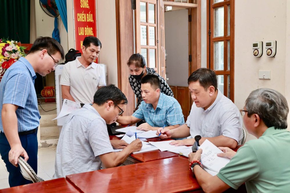
At the working session, people were directly exchanged and reflected on unclear contents during the implementation process. For issues under their authority, the professional department explained and clarified immediately at the working session; contents that need to be further inspected and verified were recorded for consideration and response according to regulations.
After the contents were discussed and clarified, the households did not have any further opinions or petitions.
In the coming time, relevant units will continue to focus on inventorying and counting the full and accurate area of land and assets attached to land; and at the same time review dossiers, compare with the actual situation to make a basis for implementing compensation and support regimes and policies in accordance with regulations.
The National Highway 1A spatial axis project is one of the traffic infrastructure and urban embellishment projects implemented under the public-private partnership PPP method, build-transfer (BT) type contract, starting in May 2026.
The entire route from Ring Road 1 to Cau Gie intersection is about 36.3km long (through 18 communes and wards), after completion it will have a cross-section of 90m. The preliminary land use area is about 337.3ha and is expected to be completed in 2027.
The project passes through Dai Xuyen commune with a length of 3.8km, passing through An Hoa, Dong Doai and Co Trai villages.
The total recovered land area is 235,098.9m2, affecting about 585 households and individuals.