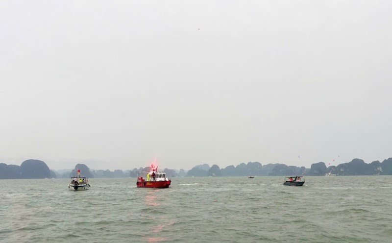
According to the latest storm information from the National Center for Hydro-Meteorological Forecasting, this morning (July 21), storm No. 3 crossed the northern area of the Lusi Peninsula (China) and entered the northern part of the Gulf of Tonkin.
At 10:00 a.m., the center of storm No. 3 was at about 21.2 degrees North latitude; 109.6 degrees East longitude, about 190km from Quang Ninh, about 310km from Hai Phong.
The strongest wind near the storm center is level 9 (75-88km/h), gusting to level 11.
The storm is moving in a West-Southwest direction at a speed of 10-15km/h.
It is forecasted that by 10:00 p.m. on July 21, the storm center will be at about 20.7 degrees North latitude; 108.2 degrees East longitude, still in the North of the Gulf of Tonkin, with a strong intensity of level 10-11, gusting to level 14.
By 10:00 on July 22, the storm center will be at about 20.3 degrees North latitude; 106.8 degrees East longitude, in the Hai Phong - Thanh Hoa sea area, maintaining the intensity of level 10-11, gusting to level 14. By July 23, the storm will move deep into the upper Laos mainland and weaken into a low pressure area.
Due to the influence of storm No. 3, the northwestern sea area of the North East Sea will have strong winds of level 7-8, gusts of level 10, waves from 3.0 to 5.0m high, and rough seas.

In the northern Gulf of Tonkin, including islands and coastal areas such as Bach Long Vi, Co To, Van Don, Cat Hai, Hon Dau, the wind will gradually increase to level 8-9, near the storm center level 10-11, gusts of level4; waves 4.0-6.0m high, the sea will be very rough.
The southern Gulf of Tonkin, especially the area around Hon Ngu, will also have strong winds of level 6-7, near the storm center level 8-9, gusting to level 11: Waves 2.0-4.0m high, very rough seas.
Storm surge may occur in coastal areas from Hung Yen to Quang Ninh, with a rise of 0.5-1.0m. The water level at some coastal stations is expected to reach: Ba Lat from 2.4-2,6m, Hon Dau from 3.9-4.3m, Cua Ong from 4.6-5.0m, Tra Co from 3.6-4.0m.
The risk of flooding in coastal areas and river mouths on the afternoon of July 22 is very high.
Storm No. 3 can also cause many serious impacts. Strong winds, tornadoes, big waves and sudden sea levels are likely to damage ships, coastal works, and aquaculture areas. On land, from the night of July 21, coastal areas from Quang Ninh to Nghe An will have strong winds of level 7-9, near the storm center level 10-11, gusting to level 14. Inland provinces such as Hai Phong, Hung Yen, Ninh Binh, Thanh Hoa also have strong winds of level 6, gusting to level 7-8.
Winds of level 10-11 can cause trees and electric poles to fall, blowing off roofs and damaging the project.
From July 21 to 23, the Northeast, Northern Delta, Thanh Hoa and Nghe An will have very heavy rain, with total rainfall of 200-350mm, some places over 600mm. The remaining areas of the North and Ha Tinh are expected to have rain from 100-200mm, some places over 300mm.
Notably, there may be extremely heavy rain with an intensity of over 150mm in 3 hours, leading to a high risk of flash floods, landslides in mountainous areas and serious flooding in low-lying areas and urban areas.
According to the assessment, the natural disaster risk level caused by storm No. 3 is determined to be level 3, applied to the entire Gulf of Tonkin, coastal localities and mainland from Quang Ninh to Nghe An.
People and tourists in these areas need to pay special attention to weather information, proactively take preventive measures and follow the instructions of authorities and authorities to ensure safety.
