The latest update from the National Center for Hydro-Meteorological Forecasting, at 4:00 a.m. on June 12, the center of the storm was at about 16.7 degrees north latitude; 110.7 degrees east longitude, in the western area of Hoang Sa archipelago. The strongest wind near the storm center is level 8 - 9 (62 - 88 km/h), gusting to level 11; moving west-northwest at a speed of 10 - 15 km/h.
According to Dr. Hoang Phuc Lam - Deputy Director of the National Center for Hydro-Meteorological Forecasting, in the next 24 hours, storm No. 1 is forecast to move northwest at a speed of about 10 km/h.

The center of the storm at 4:00 a.m. on June 13 was at about 18.3 degrees north latitude; 109.2 degrees east longitude, in the southern coastal area of Hainan Island (China). The strongest wind near the storm center will strengthen to level 10, gusting to level 13.

The danger zone has coordinates from 15.5 to 19.5 degrees north latitude; 108 to 112.5 degrees east longitude. Level 3 natural disaster risk in the western part of the northern East Sea (including Hoang Sa archipelago), the offshore waters from Quang Tri to Quang Ngai.
It is forecasted that in the next 48 hours, the storm will move north-northeast, then turn north-northeast at a speed of 10 - 15 km/h. The center of the storm at 4:00 a.m. on June 14 was at about 20.7 degrees north latitude; 109.7 degrees east longitude, in the sea east of the Gulf of Tonkin.
The strongest wind near the storm center is level 9 - 10, gusting to level 12. The danger zone has coordinates from 17 to 22 degrees north latitude; 107.5 to 111.5 degrees east longitude. Level 3 natural disaster risk: the western part of the northern East Sea, the offshore waters from Quang Tri to Quang Nam, the waters of the Gulf of Tonkin.
"In the next 72 hours, the storm will move northeast at a speed of about 20 km/h and gradually weaken" - Mr. Lam added.
At 4:00 a.m. on June 15, the center of the storm was at about 24.1 degrees north latitude; 112.4 degrees east longitude, in the mainland of southern China. The strongest wind near the center of the tropical depression is level 7, gusting to level 9. The dangerous area has a northern coordinate of 19.0 degrees north latitude; 108 to 112 degrees east longitude. Level 3 natural disaster risk in the northwestern sea area of the northern East Sea, the northern sea area of the Gulf of Tonkin.
From the next 72 to 84 hours, the tropical depression will move northeast, traveling 20 - 25 km per hour and gradually weakening into a low pressure area.
Dr. Hoang Phuc Lam also continued to warn about the impacts of the storm. Regarding the sea weather, the west of the northern East Sea (including the Hoang Sa archipelago), the sea off the coast from Quang Tri to Quang Ngai will have strong winds of level 6 - 8, the area near the storm's eye will have winds of level 9 - 10, gusts of level 3; waves 3 - 5m high, the area near the storm's eye will have waves of 4 - 6m; the sea is very rough.
From the night of June 12, the sea area of the Gulf of Tonkin will have winds gradually increasing to level 6 - 7, near the storm center level 8 - 9, gusting to level 11. Waves 2 - 4m high; very rough seas.
Ship operating in the above-mentioned dangerous areas are likely to be affected by thunderstorms, whirlwinds, strong winds, and large waves.
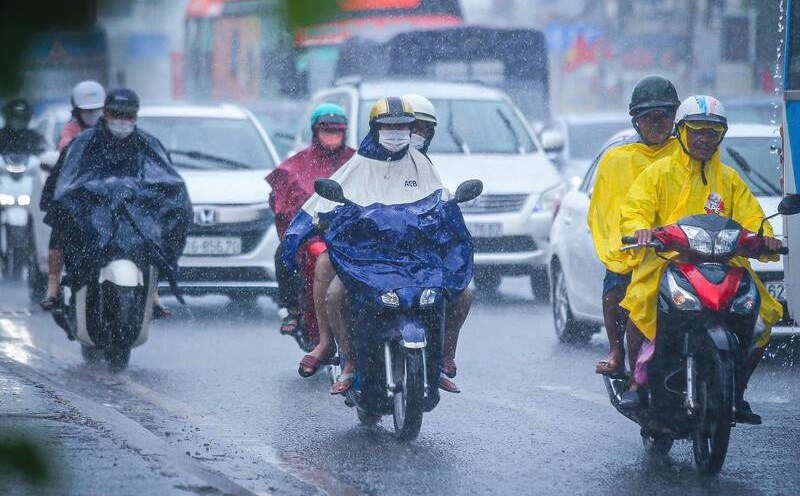
"Storm No. 1 continues to cause heavy rain in the Central region and the Northern Central Highlands. From June 12 to June 13, the Central Central region will have heavy to very heavy rain with common rainfall from 100 - 200mm, some places over 350mm. Ha Tinh and the northern Central Highlands will have moderate rain, heavy rain and thunderstorms, locally very heavy rain with common rainfall from 30 - 80 mm, some places over 150 mm" - Mr. Lam added.


