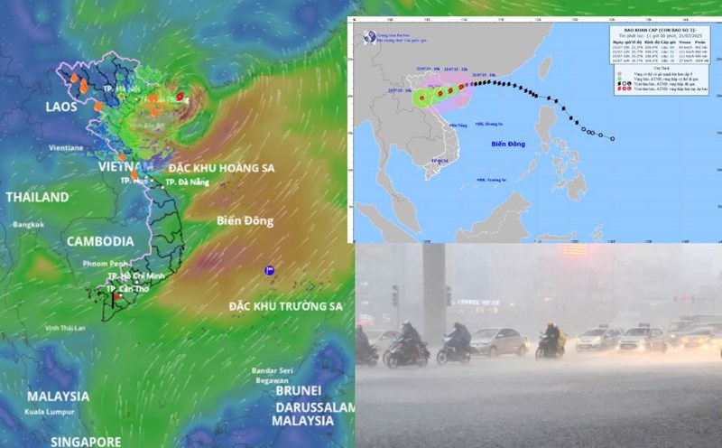
Storm No. 4 Comay in the East Sea gusts to level 10, about to strengthen in the next 12 hours

AN AN |

On the evening of July 23, the tropical depression strengthened into a storm, with the international name Comay, becoming the fourth storm in the East Sea.

Latest update from the National Center for Hydro-Meteorological Forecasting, at 7:00 p.m. on July 23, the center of the storm was at about 17.7 degrees north latitude; 118.9 degrees east longitude, in the eastern sea of the northern East Sea. The strongest wind near the storm center is level 8 (62-74km/h), gusting to level 10. The storm is moving west-southwest at a speed of about 15km/h.

It is forecasted that in the next 12 hours, the storm will continue to move south-southwest at a speed of 10-15km/h and is likely to strengthen.

At 7:00 a.m. on July 24, the center of the storm was at about 16.6 degrees north latitude; 118.5 degrees east longitude, in the eastern sea of the northern East Sea. Strong wind level 8-9, gust level 11.

The danger zone is determined from 16 degrees north latitude to 19.5 degrees north latitude, east of 116.5 degrees east longitude. The disaster risk level is level 3 for the affected area, the eastern sea of the northern East Sea.

It is forecasted that in the next 24 hours, the storm will change direction to the south southeast at a speed of 5-10km/h.

At 7:00 p.m. on July 24, the center of the storm was at about 16.3 degrees north latitude; 119.2 degrees east longitude, continuing in the eastern sea of the northern East Sea. Strong wind level 9, gust level 11.

The danger zone is expanding from 15 degrees north latitude to 19.5 degrees north latitude, east of 116.5 degrees east longitude. The natural disaster risk level remains at level 3. The affected area remained unchanged.

It is forecasted that in the next 48 hours, the storm will change direction to the northeast, move rapidly at a speed of 20-25km/h and gradually weaken into a tropical depression.

At 7:00 p.m. on July 25, the center of the tropical depression was at about 19.8 degrees north latitude; 122.8 degrees east longitude, in the sea north of Luzon Island (Philippines). Strong wind level 7, gust level 9.

The danger zone is now between 14.5 degrees north latitude and 19.5 degrees north latitude, east of 117 degrees east longitude. The natural disaster risk level remains at level 3, the affected area is the eastern sea of the northern East Sea.

It is forecasted that in the next 72 hours, the tropical depression will continue to move northeast at a speed of 15-20km/h and gradually weaken into a low pressure area.

At 7:00 p.m. on July 26, the low pressure area was at about 22.6 degrees north latitude; 125.4 degrees east longitude, in the sea east of Taiwan (China). The wind speed drops below level 6.

Regarding the impact of the storm at sea, the eastern sea area of the northern East Sea will have strong winds of level 6-7, near the storm's eye will have strong winds of level 8-9, gusting to level 11. Waves are 3 to 5 meters high. The sea is very rough. Ship operating in dangerous areas are likely to be affected by thunderstorms, whirlwinds, strong winds and large waves.

AN AN
TIN LIÊN QUAN

Forecast of heavy rain in Hanoi in the next 2 days, determining the cause of rain

|

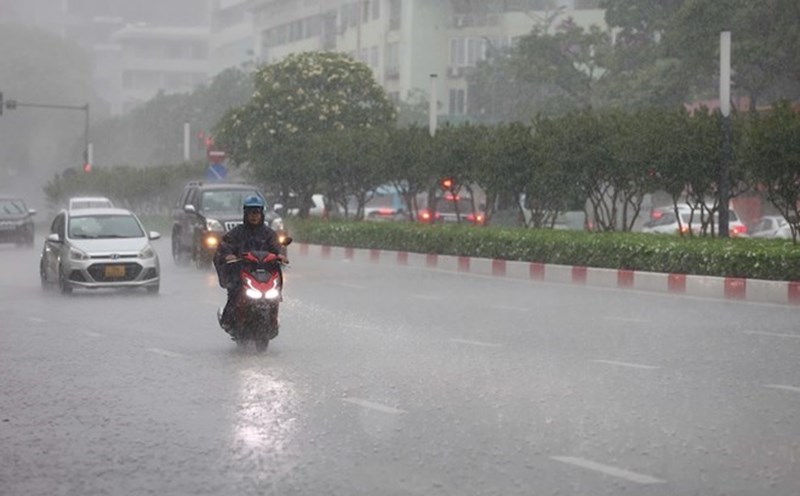
According to the meteorological agency, although storm No. 3 Wipha has dissipated, other phenomena have appeared causing rain in the North, including Hanoi.

Warning of 5 provinces with heavy rain, dangerous weather in the next 6 hours

|

The meteorological agency has warned of the risk of flash floods and landslides due to continued heavy rain in Son La, Phu Tho, Lao Cai, Thanh Hoa and Nghe An provinces.

Changes in storm No. 3 Wipha when making landfall, why is it hot in some places

|

At noon on July 22, the center of storm No. 3 Wipha made landfall in Hung Yen - Ninh Binh provinces with strong winds of level 8, gusting to level 10 - slightly decreasing compared to the previous forecast.

No alcohol or drug concentration was detected in the driver who caused the accident on Kham Thien Street

|

The incident of a pickup truck losing control caused a series of accidents in Hanoi, injuring 1 person and damaging 9 motorbikes, the driver was negative with alcohol and drug levels.

The circulation of storm No. 3 caused heavy damage in many provinces, thousands of people were evacuated

|

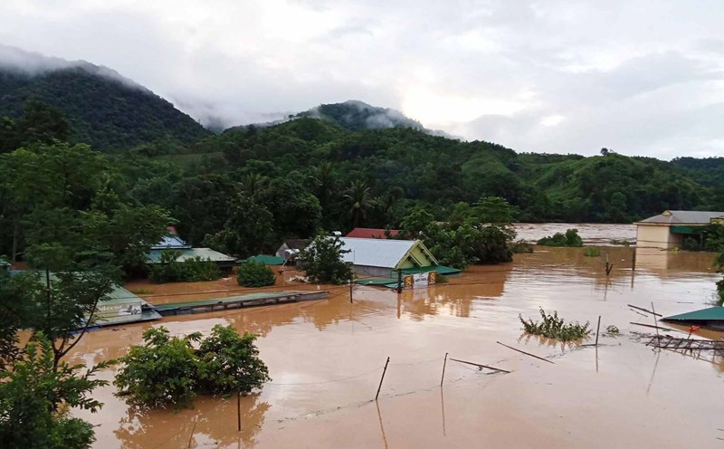
Bac Ninh, Hung Yen, Nghe An, Thanh Hoa... recorded serious damage to people and property due to heavy rain, thunderstorms and landslides from the circulation of storm No. 3.

20h News: Pain and tears for losing property due to floodwaters

|

powerlessly seeing all their assets lost in floodwaters; Inside the illegal gold mine in the middle of Quang Tri forest, the army surveyed to destroy...

More than 200 houses in a border commune of Nghe An were destroyed by floods

|

Nghe An - Affected by storm No. 3, major floods have severely damaged and swept away 231 houses in the border commune of My Ly.

Checking food at Unico Global YB Company after the case of a foreign object that giong nhu a robot in a rice tray

|

Lao Cai - The Provincial Labor Federation has just inspected food and meal quality at the Company and discovered unusual foreign objects in the workers' rice tray.

Forecast of heavy rain in Hanoi in the next 2 days, determining the cause of rain

AN AN |

According to the meteorological agency, although storm No. 3 Wipha has dissipated, other phenomena have appeared causing rain in the North, including Hanoi.

Warning of 5 provinces with heavy rain, dangerous weather in the next 6 hours

AN AN |

The meteorological agency has warned of the risk of flash floods and landslides due to continued heavy rain in Son La, Phu Tho, Lao Cai, Thanh Hoa and Nghe An provinces.

Changes in storm No. 3 Wipha when making landfall, why is it hot in some places

AN AN |

At noon on July 22, the center of storm No. 3 Wipha made landfall in Hung Yen - Ninh Binh provinces with strong winds of level 8, gusting to level 10 - slightly decreasing compared to the previous forecast.