According to the National Center for Hydro-Meteorological Forecasting, currently, satellite images and weather radar images show convective clouds developing in the areas of wards/communes of Hanoi such as Vinh Hung, Hoang Mai, Linh Nam, Tuong Mai, Yen So, Thanh Tri, Bat Trang, Gia Lam. The cloud area tends to develop and expand towards the inner city of Hanoi.
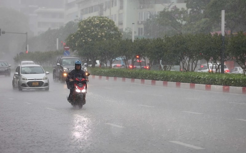
The meteorological agency warns that from now until the next 2 hours (from 3:50 p.m. on July 30), the above areas and the wards of Bach Mai, Phuong Liet, Dinh Cong, Hoang Liet, Long Bien... will have showers and thunderstorms. The thunderstorm area is likely to continue to expand to other wards in Hanoi's inner city. During the rain, there is a possibility of tornadoes, lightning and strong gusts of wind.
Today (September 30), the mountainous areas of the North and Central Highlands will have scattered showers and thunderstorms. Rainfall from 7am to 2pm on July 30 was recorded at monitoring stations over 30mm such as Nam Bung station (Lao Cai) 35.8mm, Nam Xe station (Lai Chau) 34mm,...
It is forecasted that in the evening and night of July 30, the mountainous areas of the North will have scattered showers and thunderstorms, locally heavy rain with rainfall of 15 - 30mm, locally over 80mm.
In the evening and night of July 31, the mountainous and midland areas of the North will have scattered showers and thunderstorms, locally heavy rain with rainfall of 20 - 40mm, some places over 80mm.
The Central and Southern highlands will have scattered showers and thunderstorms, locally heavy rain with rainfall of 10 - 30mm, locally over 50mm. The rain will be concentrated in the late afternoon and evening.
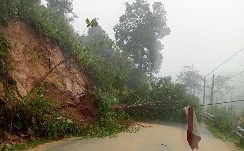
During thunderstorms, there is a possibility of tornadoes, lightning, hail and strong gusts of wind. Localized heavy rains are likely to cause flash floods on small rivers and streams, landslides on steep slopes and flooding in low-lying areas. The warning level of natural disaster risk due to tornadoes, lightning, and hail is level 1.