According to the National Center for Hydro-Meteorological Forecasting, last night and this morning (September 17), the coastal areas of the North, from Thanh Hoa to Khanh Hoa, had scattered showers and thunderstorms, with some places having heavy rain.
Rainfall from 7pm on September 16 to 8am on September 17 was over 60mm in some places such as: Cong Lan station (Hung Yen) 80.4mm, Quang Dien (Hue city) 68.6mm, Ia Kenh station (Gia Lai) 88.4mm,...
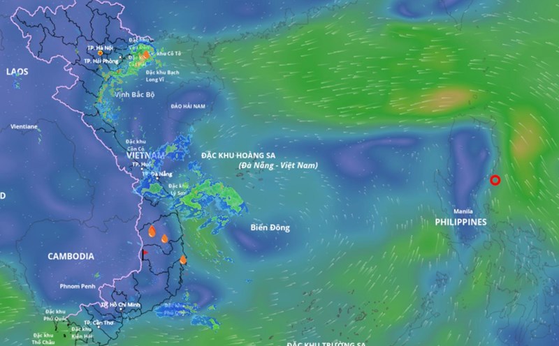
It is forecasted that in the evening and night of September 17, the area from Hue city to Lam Dong and the South will have showers and scattered thunderstorms with rainfall of 10 - 30mm, locally heavy rain over 70mm.
The meteorological agency warns of the risk of heavy rain over 70mm within 3 hours. During thunderstorms, there is a possibility of tornadoes, lightning, hail and strong gusts of wind. Localized heavy rains are likely to cause flash floods on small rivers and streams, landslides on steep slopes and flooding in low-lying areas.
Data analyzed by the meteorological agency also shows that in the next month, the Northern Delta and the provinces from Thanh Hoa to Gia Lai will have a total rainfall generally 5 - 15% higher than the average of many years. The remaining areas will have rainfall 5 - 10% lower than the average of many years in the same period.
The Northern Delta and the provinces from Thanh Hoa to Quang Ngai in the next month are likely to experience some widespread heavy rains. The Southern region and other places in the Central region will have many days of showers and thunderstorms; in which, some days may have moderate to heavy rain.
On a national scale, there is a continued possibility of dangerous weather phenomena such as thunderstorms, whirlwinds, lightning, hail and strong gusts of wind.