The National Center for Hydro-Meteorological Forecasting has issued a weather trend forecast from now until July 20.
Regarding temperature trends, the average temperature in the Northern and North Central regions is approximately the same as the average of many years. The remaining areas have an average temperature of 0.5 - 1 degree Celsius higher than the same period.

According to Mr. Nguyen Duc Hoa - Deputy Head of Climate Forecasting Department, National Center for Hydro-Meteorological Forecasting, hot weather continues to occur in the Northern and Central regions, however, the intensity is not as severe as in the same period in 2024.
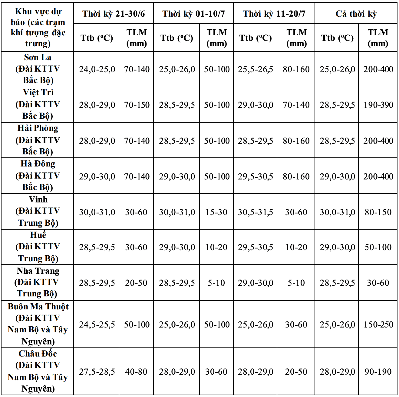
Total rainfall in the Northern and North Central regions is generally 15 - 30% higher than the average of many years in the same period; other areas are generally 10 - 20% lower than the average of many years.
"During the forecast period, the Northern and North Central regions may experience some widespread heavy rains. The Central Highlands and the South will continue to have many thunderstorms; the time of rain will be concentrated in the late afternoon and evening" - Mr. Hoa said.
On a national scale, there is a continued possibility of dangerous weather phenomena such as thunderstorms, tornadoes, lightning, hail and strong gusts of wind.
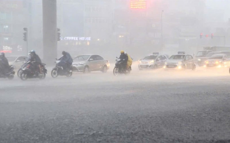
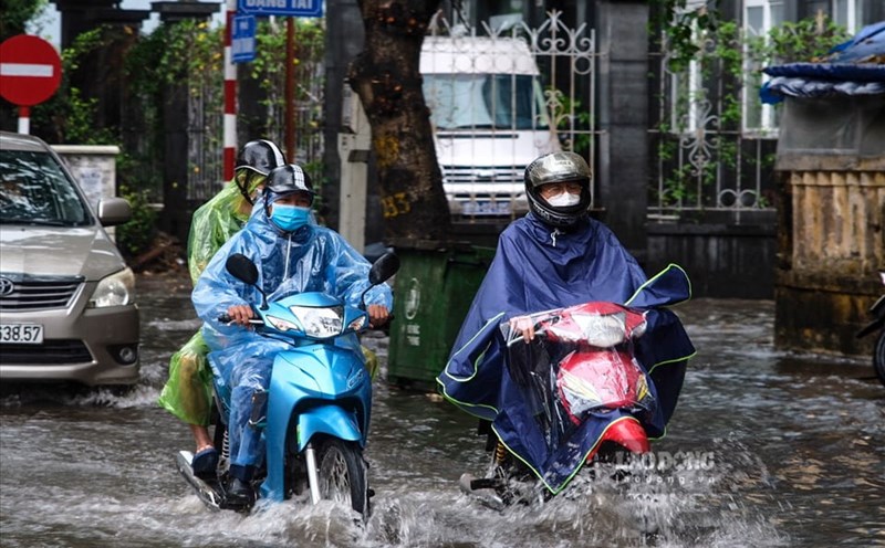
The phenomenon of heavy rain and thunderstorms, whirlwinds, and lightning can negatively affect production activities and public health. In particular, beware of localized heavy rains that can cause floods, inundation in low-lying areas and landslides in mountainous areas.
Previously, in the past month, the Northern, Central, Central Highlands and Southern regions have all recorded widespread heavy rains. Some stations recorded the highest rainfall of the day exceeding the historical value.
Regarding dangerous weather phenomena at sea, according to Mr. Nguyen Duc Hoa, during the forecast period, the number of storms/tropical depressions in the East Sea is likely to be at a level equivalent to the average of many years and may affect the mainland of our country.
"According to the average data of many years in the above period, there will be about 1.4 storms or tropical depressions in the East Sea (ie about 1-2 storms) and about 0.7 storms (ie about 0 - 1 storm) making landfall" - Mr. Hoa added.
The meteorological agency warns that it is necessary to be on guard against dangerous weather phenomena such as storms, tropical depressions and southwest monsoons that can cause strong winds, large waves at sea and affect the activities of ships.
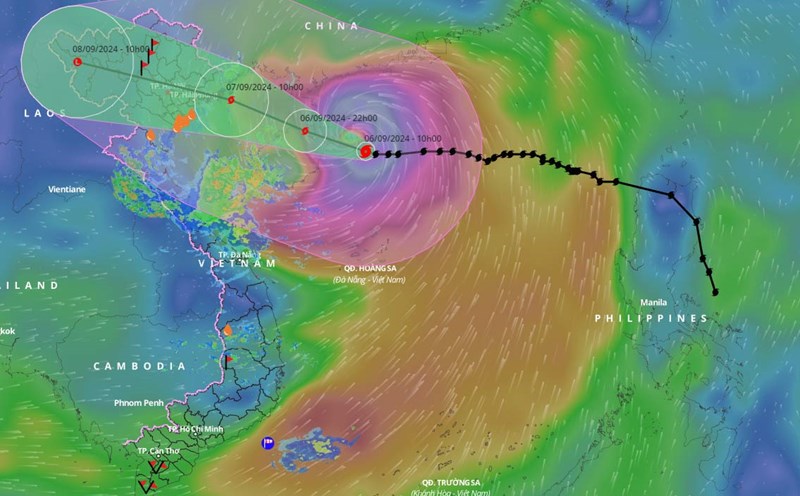
Previously, there was 1 storm in the past month. Early in the morning of June 10, the low pressure area over the North East Sea area strengthened into a tropical depression, and continued to strengthen into a storm on the morning of June 11. This is the first storm in the East Sea in 2025 - storm No. 1, international name is Wutip.
On the evening of June 14, after moving deep into the mainland in the southwest of Guangdong province (China), storm No. 1 weakened into a tropical depression; then moved deep into the mainland of Guangdong province (China) weakening into a low pressure area.