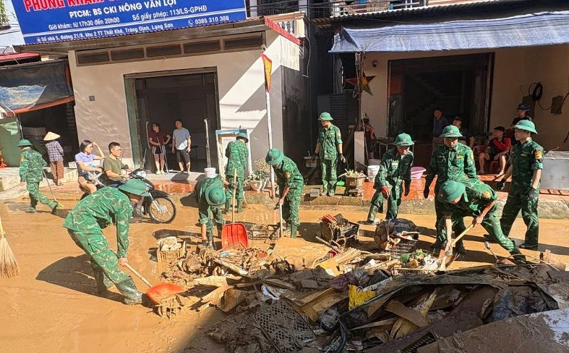
On November 4, according to a quick report from the Department of Dyke Management and Natural Disaster Prevention and Control, the natural disaster situation in the Central region is still complicated. Floods in recent days have caused heavy damage to people and property, with 46 people dead and missing, and nearly 80,000 houses still flooded.
Although floods on rivers from Ha Tinh to Da Nang are receding, water levels are still high. At 6:00 a.m. on November 4, the water level on the Kien Giang River (Quang Tri) in Le Thuy was still above alert level 3, at 0.69 m. Floods on the Bo River, Huong River (Hue), Thu Bon River (Da Nang) fluctuate at alert level 2 - alert level 3.
The meteorological agency forecasts that from November 4-5, floods on rivers in Ha Tinh and Quang Tri are likely to rise again, the flood peak may reach alert level 2 - alert level 3, some rivers above alert level 3.
Meanwhile, typhoon Kalmaegi is active in the central Philippines with the strongest winds of level 13, gusting to level 16. The storm is forecast to enter the East Sea in the next 24-48 hours, likely to strengthen to level 14, gust level 17 and head towards the mainland of the Central provinces.
According to the Report of the Department of Dyke Management and Natural Disaster Prevention and Control, on river dykes and river opens from Ha Tinh to Quang Ngai, there are currently 32 key vulnerable locations.
River dykes (mainly near river mouths), river dykes, and dykes in the area from Quang Tri to Quang Ngai province have common dyke surface elevations of about +(1.0 - 2.5)m, with the task of preventing salinity, keeping the soil sweet, preventing minor floods, and early floods (When the main season flood is at a high level, the dykes will basically overfloat; especially the dykes in the old Quang Ngai city area can withstand the main flood with a frequency of 10%. Currently, the flood is receding but the water level is still overflowing, approximately overflowing some dikes, specifically as follows:
- Quang Tri: Hai Lang dike (46.12km long) is still flooded about (0.3-0.5)m deep above the dike surface.
- Hue: Flooding and seepage of river embankments at 10.9km long (left, right of Huong River, right of Truoi River), flooding depth from (0.5-0.8)m.
- Da Nang: Flood water level is approximately equal to the peak of the dykes of some river dykes in the old Quang Nam province.
In this situation, the Ministry of Agriculture and Environment issued documents No. 8111/BNNMT-DD and 8521/BNNMT-DD directing provinces from Ha Tinh to Gia Lai and Nghe An, Ha Tinh, and Quang Tri provinces to deploy work to ensure the safety of the dyke system to cope with floods. The Department of Management and Construction of Irrigation Works also issued a document requesting provinces from Hue to Khanh Hoa to proactively take measures to ensure the safety of dams and reservoirs to respond to storm Kalmaegi.