The Hanoi People's Committee has just issued a decision approving the project to locally adjust the Detailed Planning of the Bac Co Nhue - Chem area, scale 1/500 at the planned plots with symbols K4/CQ2 and K7/CQ3.
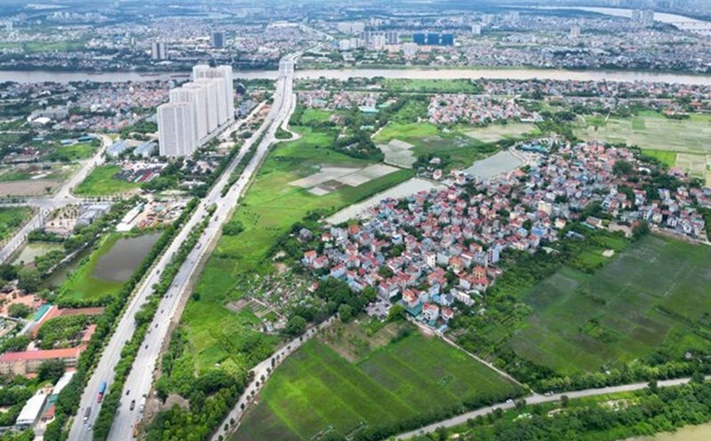
According to the decision, the total adjusted land area is about 47,366m2 within the administrative boundaries of Co Nhue 2 ward and Xuan Dinh ward, Bac Tu Liem district.
In which, the location of the planned land plot marked K4/CQ2: The North borders Nguyen Dinh Tu Street with a cross-section of 30m wide; the East borders the planned road with a cross-section of 30m wide; the South borders the planned road with a cross-section of 15.5m wide; the West borders the planned road with a cross-section of 15.5m wide.
The planning land plot with symbol K7/CQ3: To the North, it borders the planning road with a cross-section of 15.5m wide; to the East, it borders the planning road with a cross-section of 30m wide; to the South, it borders the planning road with a cross-section of 21.5m wide; to the West, it borders the planning road with a cross-section of 15.5m wide.
The goal of adjusting the project is to concretize the function of land use, ensure synchronous connection of planning, architectural, traffic and technical infrastructure factors, creating a modern living space in harmony with the surrounding area. In addition, the project is also a legal basis for the investor to carry out the construction project and the competent authorities to manage the planning and construction investment.
At the planned land plots marked K4/CQ2 and K7/CQ3, the expected works include: multi-purpose sports houses, student rooms ( dormitories), halls, classrooms, libraries, security houses, and technical infrastructure works... In particular, this area will also ensure requirements for fire prevention and fighting, environmental sanitation, earthquake control, and compliance with national technical regulations. The design solutions of the project will ensure aesthetics and suitability to the needs of people and students.
The local adjustment project also sets out architectural planning targets, transportation systems and technical infrastructure solutions. In particular, the land will be arranged with internal traffic routes, parking lots, water supply systems, energy, drainage and telecommunications infrastructure...
For the organization of landscape architectural planning space, ensure the scale of the number of floors of the building from 1 to 23 above-ground floors in accordance with the planning orientation. When designing a construction architectural plan, it is necessary to ensure the architectural planning indicators and the location of the construction site according to the controlled indicators in the master plan for land use and the landscape architectural space organization diagram.
For urban landscape design, the project proposes modern architectural solutions, using environmentally friendly materials and saving energy. Trees will be selected and planted in accordance with climate conditions, not only creating aesthetics but also playing an important role in improving the living environment. Encourage the exploitation of light art, especially nighttime images such as project lighting, street lighting, tree lighting, and internal gardens.