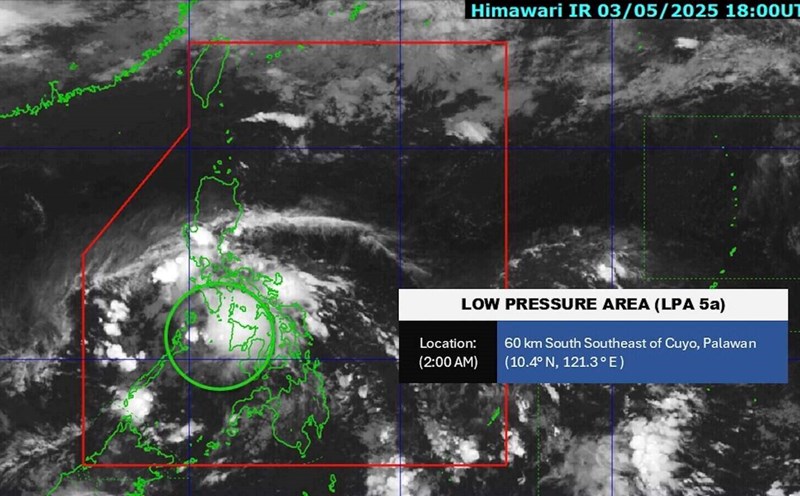
The latest storm and low pressure information from the Philippine Atmospheric, Geophysical and Astronomical Services Administration (PAGASA) on May 7 said that the agency is monitoring 2 low pressure areas inside the Philippine Forecast Area (PAR).
PAGASA weather forecaster Benison Estareja said that both low pressure areas are unlikely to develop into tropical storms in the next 24 hours.
At 3:00 a.m. on May 7, the first low pressure was determined in the coastal waters of kalibo, Aklan, Philippines.
The new low pressure is being monitored 425 km west of Iba, Zambales, Philippines.
The first low pressure is forecast to dissipate on May 8.
However, on May 7, Benison Estareja forecast that due to the influence of this low pressure, there will be scattered rain and thunderstorms in the Visayas, Bicol region, Mimaropa and Quezon. moderate to heavy rains in these areas can cause flash floods or landslides.
The Philippines' Caraga region will also see scattered rain and thunderstorms caused by the winter wind. The winter wind will bring scattered showers or thunderstorms across the Philippines, according to PAGASA's weather bulletin.


