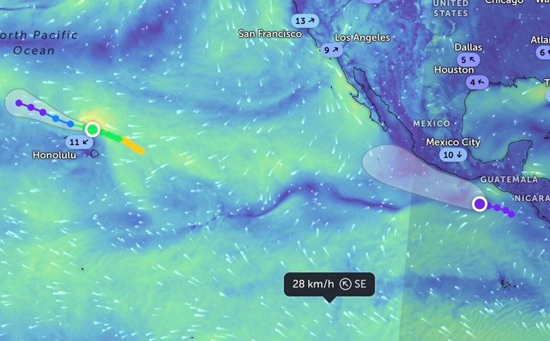
The latest storm and low pressure information from the Philippine Atmospheric, Geophysical and Astronomical Services Administration (PAGASA) at 2:00 p.m. on September 10, low pressure near the East Sea 09b is being monitored inside the Philippine Forecast Area (PAR), in the sea off Polillo Island, Quezon, Philippines. Low pressure 09b is forecast to be unlikely to strengthen into a tropical depression within the next 24 hours.
Low pressure 09b formed from 8:00 a.m. on September 10. At that time, the low pressure was recorded in the sea off Vizons, Camarines Norte, Philippines.
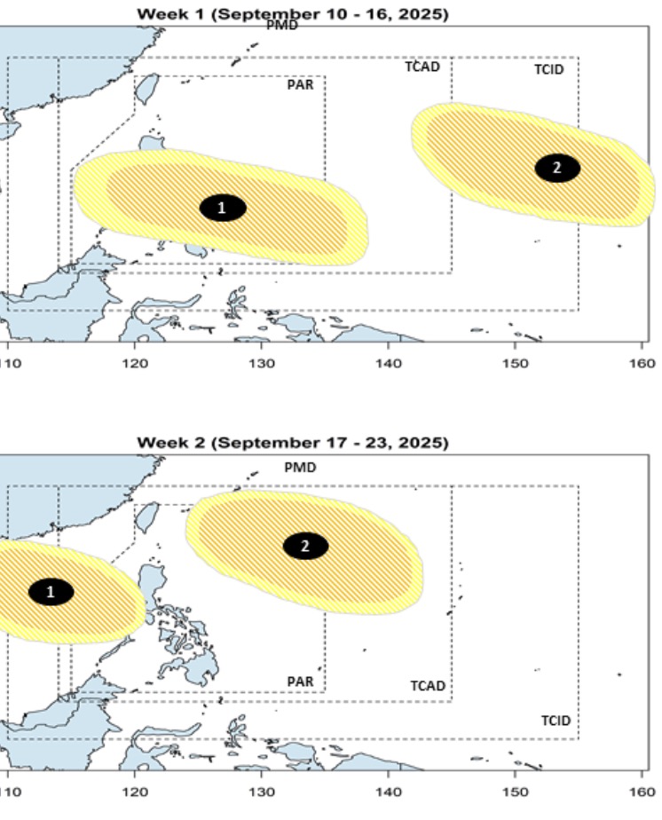
According to PAGASA's latest storm and low pressure forecast on September 10, it is forecasted that during the week from September 10 to September 16, 2 low pressure areas will appear near the East Sea, of which 1 low pressure is forecast to enter the East Sea.
The bulletin stated that the first low pressure near the East Sea is expected to form at the eastern boundary of the Philippine Forecast Area (PAR). This low pressure is forecast to move towards the Visayas, Mindanao and Southern Luzon regions of the Philippines before entering the East Sea.
Meanwhile, the second low pressure in this period is expected to form at the eastern boundary of PAGASA's TCID and TCAD forecast areas.
Philippine typhoon forecasters say both low pressure areas are likely to strengthen into tropical depressions or low to moderate storms.
During the week from September 17 to September 23, the two low pressure areas are forecast to continue to operate and move west. In particular, the first low pressure is likely to enter the East Sea, leave the forecast area of the Philippines and head towards Vietnam. Meanwhile, the second low pressure is likely to move towards the northeast of PAR and TCAD.
The two systems still maintain the low to moderate chance of strengthening into storms or tropical depressions.
Philippine weather forecasters point out that tropical depressions and storms in September typically have four movements. First, the storm enters the northeast of the PAR but does not make landfall in the Philippines but moves towards Japan or South Korea. Second, the storm is heading northeast of the PAR, not making landfall but heading straight towards Taiwan (China).
Third, the typhoon makes landfall north or northernmost Luzon, Philippines, then heads towards the East Sea, Hong Kong (China) or mainland China.
Fourth, the storm made landfall south of Luzon, entered the East Sea and headed straight to Vietnam.
According to PAGASA's forecast, there is a possibility of 2 to 4 storms forming or entering the Philippine forecast area in September. Before the low pressure near the East Sea 09b formed on September 10, the low pressure in the East Sea 09a formed on September 5 west of Northern Luzon. The depression has since strengthened into Typhoon Tapah No. 7 in the South China Sea and made landfall in China.