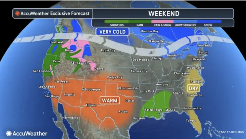
On December 18, according to the latest weather report, a strong storm system is moving rapidly and creating major climate disruptions right before Christmas. The storm has been very complicated, starting with a period of heating up with strong winds and showers, followed by a rapid drop in temperatures leading to widespread freezing.
Weather forecast shows that before the center of the storm makes landfall, temperatures in many areas will skyrocket to the highest level in many weeks.
Before the storm made landfall, temperatures in many areas of the Ohio Valley and the northeast of the US were expected to increase to the highest level in many weeks. Unusual warm temperatures ranging from 5 to 15 degrees Celsius will cause the snow to melt quickly. In some places in Virginia and North Carolina, temperatures could even reach above 15 degrees Celsius.
The combination of strong storms and warm air will trigger serious thunderstorms. Meteorological experts warn that heavy rainfall falling on the melted snow has a high risk of causing urban flooding, especially in places where drainage culverts are blocked by ice and snow.
The hardest hit area is along the I-95 arterial expressway in the mid- Atlantic. Heavy rain concentrated on the night of December 18 has caused serious damage and disruption to road and air traffic activities here.

In terms of wind power, experts say the strongest gusts of wind can reach typhoon level (about 119 km/h) in the Appalachians. The situation of trees falling and a widespread power outage is inevitable on the night of December 18 and the morning of December 19.
Immediately after the cold air sweeps through, the temperature will drop sharply, causing the rainwater on the road surface to freeze quickly. In the mountainous areas from West Virginia to New York, rain will turn into snowfall, making the roads dangerously slippery.
Forecasting the weather for the upcoming Christmas season, meteorologists said another storm will move through the northern region on December 23 and 24. However, the likelihood of heavy snowfall on Christmas Day is mainly limited to the northern regions.
Meanwhile, southern areas like Pennsylvania and New York are likely to welcome Christmas in cold rain rather than white snow as expected.


