The latest storm and low pressure forecast on July 28 said that the Fox Forecast Center is monitoring two areas that are likely to form tropical depressions in the next 10 days, one in the Atlantic and one in the Gulf of Mexico.
In late July and early August, the focus of the tropical depression will shift eastward into the tropical Atlantic Ocean.
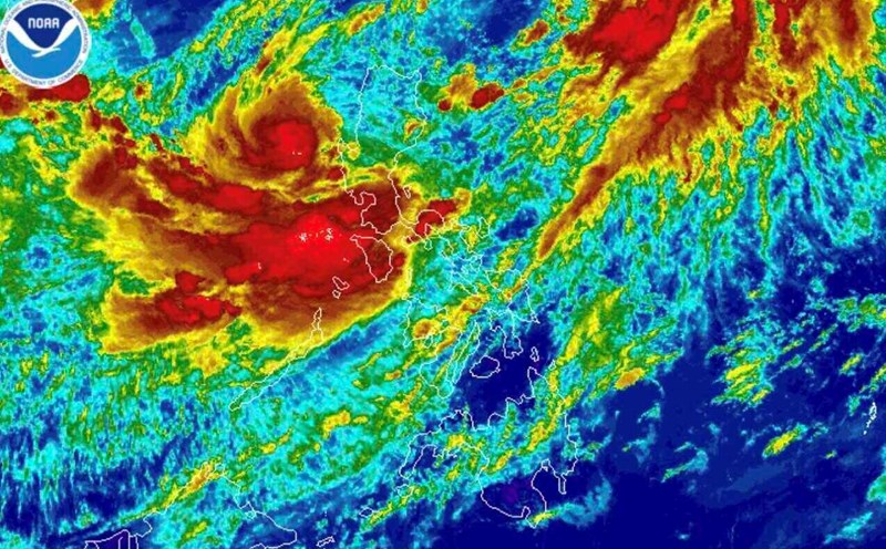
Computer typhoon models are seeing some potential for tropical depression formation as a turbulent area is expected to move off the west coast of Africa in the first half of August. The system is likely to strengthen as it moves across the Atlantic towards the Lesser Antilles.
This potential tropical depression is still likely to face some obstacles, such as Sahara desert dust and some easterly winds, before finding a favorable environment to strengthen.
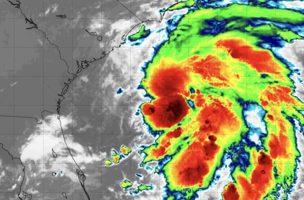
Another area with the potential to form a tropical depression is along the southeastern coast and Gulf of Mexico. A large upper-level high pressure band is expected to form over the central United States. When this high pressure strip slides westward, it will create an opportunity for weather systems to form.
Similarly, in the latest hurricane bulletin from USA Today, hurricane experts warn of the possibility of a storm exploding in August. Dr. Michael Brennan, director of the National Hurricane Center, predicted a period of intense activity across the basin, with some signs of an increase.
"The tropical environment will become more favorable for Atlantic hurricane activity in the next few weeks," said Colorado State University meteorologist Phil Klotzbach.
WPLG-TV weather forecaster Michael Lowry agrees with this prediction. "We have seen long-range forecast models begin to operate again. Deep tropical cyclones in the Atlantic from Africa have been stronger this week, and the long-range forecast models on July 24 have shifted from a generally fairly quiet forecast for the next 15 days to a much more vibrant outlook in early August," he said.
Since the start of the season, three Atlantic hurricanes have formed in Andrea, Barry and Chantal, above average for the time of year.
However, according to measurements, this is the slowest start to an Atlantic hurricane season since 2009, as all three are quite weak.
However, the hurricane season is set to accelerate as August is the month when activity typically increases strongly, forecaster Lowry said. While this years hurricane season has started slowly, we are approaching a turning point in the Atlantic region. Uncommon storms in June and July. Of course, there are still, but it often has to overcome many major obstacles to form. But that is no longer true for August, September and early October. The obstacles in this period are much lower, so as long as conditions are favorable, a major storm can quickly appear" - he warned.