From March 15 to July 22, seven typhoons have formed in the Northwest Pacific and the South China Sea, said Jia Xiaolong, deputy director of the National Meteorological Center of China. Three of them have made landfall in China, more than the normal annual average.
Typhoon Wutip (the first storm of the typhoon season in the East Sea), the first storm of the typhoon season in the East Sea to appear in June after more than 40 years, has an unusual path and trajectory, causing particularly heavy rain in the Central Central region of Vietnam and many areas in China.
Typhoon Today (Storm No. 2 in the East Sea) hit Taiwan (China) and Zhejiang from July 7-8, bringing strong winds and widespread heavy rain.
Storm Wipha (storm No. 3 in the East Sea) formed on July 19, moving quickly into the East Sea and reaching its peak of level 12, gusting to level 15 on July 21 before weakening and making landfall in Ninh Binh - Thanh Hoa.
Typhoon Wipha has also made landfall in Guangdong Province (China), significantly affecting southern China and coastal areas of Zhejiang and Fujian with heavy rain and gusts of wind.
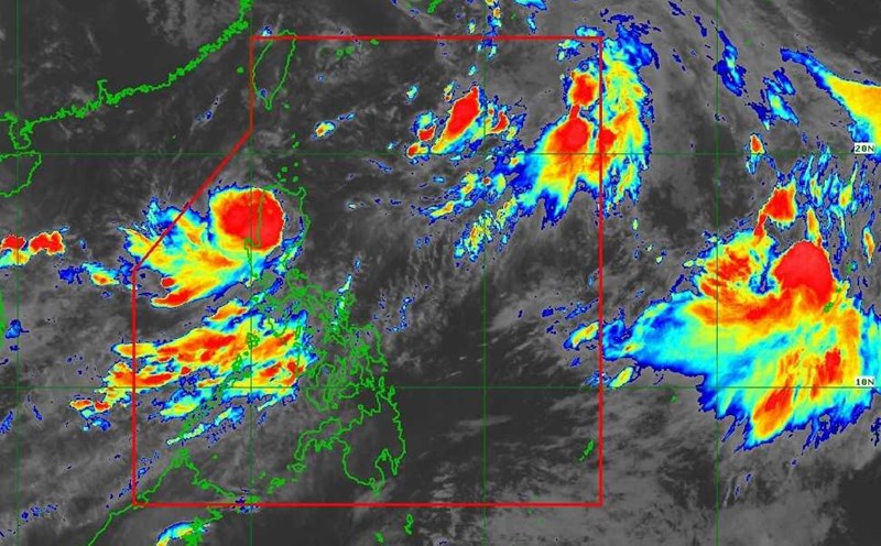
Hurricane Francisco is the seventh storm of the 2025 Northwest Pacific hurricane season, making landfall in the southern East China Sea on the night of July 24. On July 27, San Francisco weakened to a depression. The center of the low pressure at 2:00 a.m. on July 27 was at 26.3 degrees north latitude, 118.7 degrees east longitude, 690 km northwest of Itbayat, Batanes (Philippines).
Mr. Hoang Trac, Deputy Director of the National Meteorological Center of China, said that the total number of storms formed this year is equivalent to the historical average, but the storms are stronger than normal.
The average strength of the three storms made landfall at 34.3 meters/s, compared to the average of 30.2 meters/s in June and July, Mr. Hoang said.
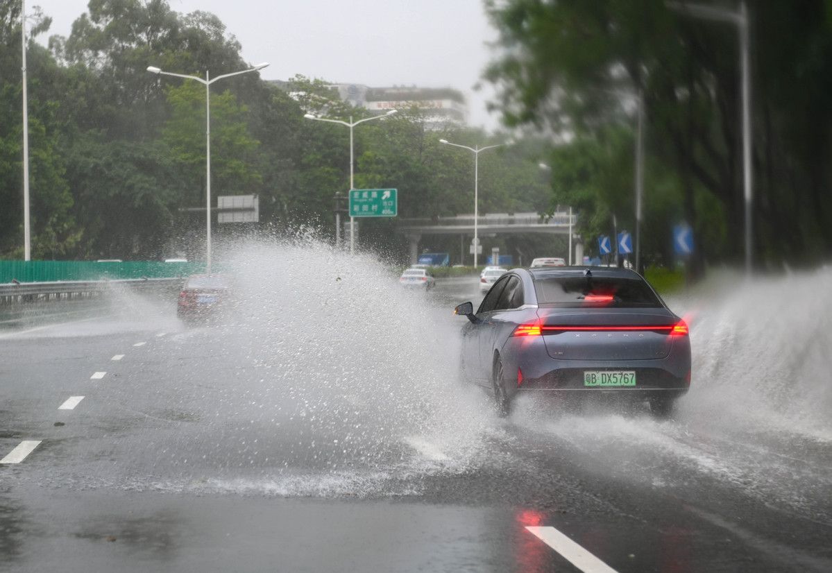
Typhoon Today and Typhoon Wipha have the strongest impacts. Storm Today brought up to 740.8mm of rain in Jiexi district, Quang Dong province, forcing people to evacuate in large numbers and temporarily suspend traffic in Zhejiang. Typhoon Wipha caused nearly 650mm of rain in Xuwen district, Guangdong.
Jia said August is expected to be calmer, with the potential for four to five typhoons to form, a slight decrease from an average of 5.6 months, with two to three expected to make landfall or affect coastal areas of China. "A typhoon is expected to affect northern regions, including the Yangtze River," he said.
Meanwhile, the Vietnam National Center for Hydro-Meteorological Forecasting forecasts that storm and tropical depression activity will tend to increase in the coming months.
The forecast for the number of storms and tropical depressions this year is approximately the average of many years, the whole season ranges from 11 to 13 storms, tropical depressions operating in the East Sea, including about 5 to 6 storms directly affecting the mainland of Vietnam.
It is also not ruled out the possibility of strong and very strong storms (ie winds above level 12) appearing in the 2025 typhoon season. Especially in the context of the impact of climate change, many adverse factors cause storm activities to increase more frequently.