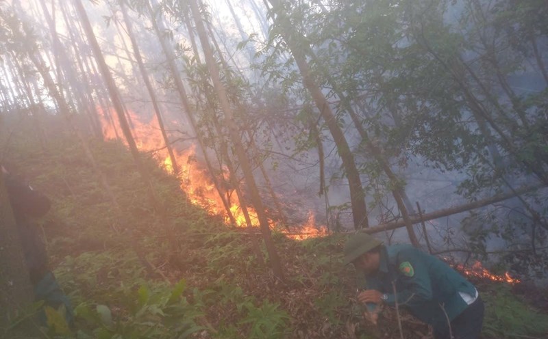
As Severe Tropical Storm Kristine (local name for Storm No. 6 Tra Mi) left the Philippine forecast area (PAR) on October 25, 2024 and entered the South China Sea, the Philippine Atmospheric, Geophysical and Astronomical Services Administration (PAGASA) said in its latest bulletin that the possibility of Tra Mi returning to PAR cannot be ruled out.
In its storm forecast, PAGASA indicated that Typhoon Tra Mi in the East Sea will make a U-turn or a counterclockwise turn on Sunday (October 27) or Monday (October 28) and move eastward in the general direction of the PAR region. The possibility of returning to PAR is not ruled out.
However, PAGASA said this scenario depends heavily on the evolution of the newly formed typhoon Kong-rey in the eastern part of the PAR region and the evolution of other weather systems surrounding typhoon Tra Mi as it moves through the East Sea.
Depending on how close it is in its movement over the Philippine Sea, the outer rain bands of Kong-rey could also affect northernmost Luzon, PAGASA said.
Furthermore, it may also continue to affect the initial southwesterly wind flow caused by Typhoon Tra Mi, which may affect the western part of Southern Luzon, Visayas and Mindanao in the coming days.
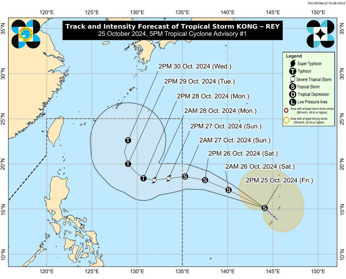
PAGASA said that at 4:00 a.m. on October 26, the center of typhoon Kong-rey was at approximately 16.5 degrees north latitude, 139.4 degrees east longitude, 1,845 km east of Central Luzon, Philippines, outside PAR. The strongest wind near the center of the storm was 65 km/h, gusting to 80 km/h. The storm moved northwest at 35 km/h.
Typhoon Kong-rey is expected to enter PAR tonight, October 26, or early tomorrow morning, October 27.
According to PAGASA's typhoon forecast, Kong-rey is expected to gradually strengthen, possibly reaching severe tropical storm status on Sunday (October 27) and becoming a typhoon on Monday (October 28). When it enters PAR, Kong-rey will be locally known as Leon.
Meteorologists call the interaction of two storms the Fujiwhara effect.
According to the US National Weather Service, when two tropical cyclones "spinning in the same direction pass close enough to each other, they will begin to interact violently around a common storm center."
The Hong Kong Observatory (China) said the two storms would have to be about 1,350km apart for this to happen.
The stronger storm tends to exert a dominant influence on the path of the weaker storm. This interaction ends when the larger external weather system, either a weakening tropical cyclone or two merging, is brought under greater influence, the Hong Kong Observatory (China) explained.
PAGASA said its forecast model from October 31 to November 6 shows that Kong-rey will continue moving northwest toward the eastern part of Northern Luzon before turning back toward Taiwan (China).