In 1954, the Geneva Agreement temporarily divided our country into two. The North entered the stage of building up socialism, while playing a supporting role for the Southern front line to fight, reclaiming the government under the control of the US central government and empire.
The increasingly high demand of the Southern front requires urgent planning for a transport route that ensures human and material resources for the front line.
The trail across the Truong Son range has been used since the resistance war against France and cannot meet the growing demand for support for the Southern revolution.
In the face of the new situation, on May 19, 1959 - the Party Central Committee decided to establish a "Special Working Group", initially consisting of 500 officers and soldiers responsible for building a strategic support line, transferring human and material resources from the North to serve the Southern revolution.
Founded in May 5, 1989, Truong Son Street was named "Ho Chi Minh Road", starting to go down in history as a legend living on the will, intelligence, and bravery of the Vietnamese army and people.
With the slogan "Fight the enemy and move forward, open the way and go", for 16 years (1959-1975), the soldiers of the Truong Son army have continuously consolidated and expanded the road, forming a complete traffic network, becoming a "backbone" in the Indochina peninsula.
When the war ended, this military support line (both Eastern and Western Truong Son) passed through 20 provinces in all 3 countries, with 216 roads, a total length of more than 20,000km spreading to the battlefields in Vietnam, Laos and Cambodia, creating a sustainable interconnected system.
During nearly 6,000 days and nights, the Ho Chi Minh trail transported more than a million tons of goods and weapons, more than two million people to the battlefields, contributing to the decision to successfully implement the strategy: winning the step by step victory, moving towards a complete victory in the resistance war against the US to save the country.
The war ended, but the mission of the legendary Ho Chi Minh trail was and is being continued by future generations. On the thousands of white steles of Truong Son Martyrs' Cemetery, more than 10,000 remains of more than 2,000 officers, soldiers and youth volunteers who died on the Truong Son battlefield have been gathered here, left for thousands of generations to pay tribute and remember.
Resolution No. 38 of the National Assembly decided to build the Ho Chi Minh Road as a national key project with a total length of 3,167km, stretching from Pac Bo (Cao Bang) to Dat Mui Ca Mau.
The starting point of the alley named after Uncle Bo starts from the Pac Bo Historical Site (Ha Quang, Cao Bang) - where after 30 years of searching for a way to save the country, the person returned to directly lead the Vietnamese revolution.
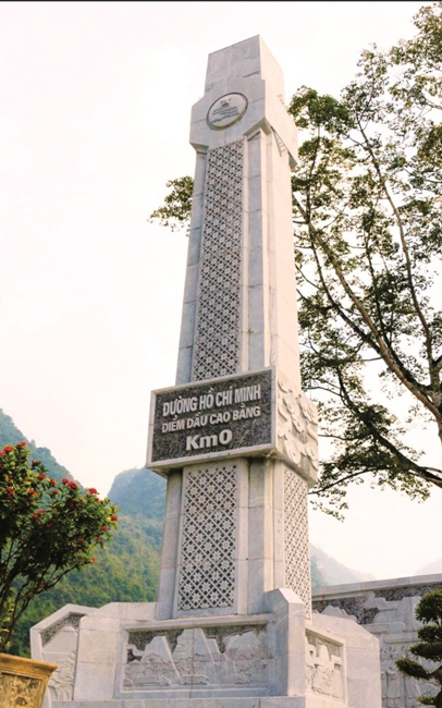
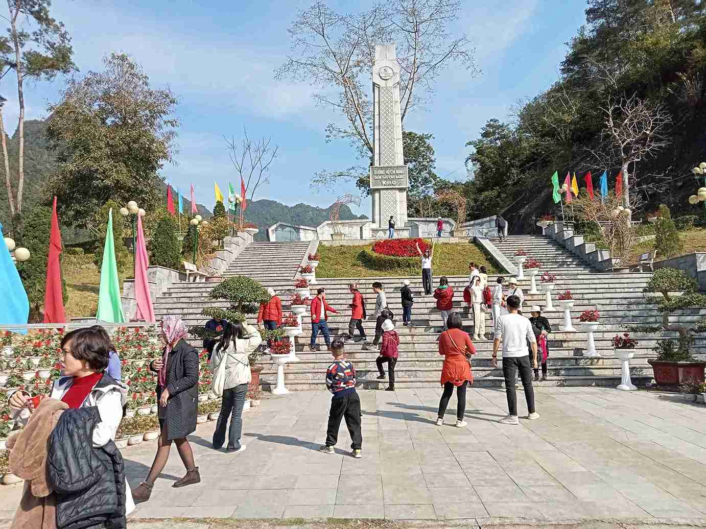
Landmark No. 0 (Km0) is located at the special national relic site of Pac Bo, which has become a red address in recent years to educate the younger generation as well as promote tourism inside and outside the locality.
On March 22, the reporter noted that the landmark No. 0 was designed like a tower facing the sky. The words "Ho Chi Minh Road at the beginning of Cao Bang Km0" are designed right at the center of the marker. Behind it is a relief depicting vividly the activities that used to take place on the road.
Today, when returning to Pac Bo, it is not only a return to "Che Mac Mountain, Le-Nin Stream", the birthplace of the revolution, but also a return to km 0 of the new road named after Uncle Ho.
Along a small stream with clear blue water flowing out from Pac Bo, between Luc Khu and Ma lip rows, Kim Dong tomb was built on the edge of Teo Lai mountain, resting on the black green stone walls. Take a few more kilometers to the center of Truong Ha commune, Ha Quang district.
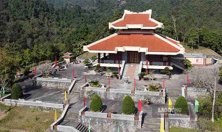
A tour guide at the relic site shared: "When coming to the relic site today, visitors will be able to visit many places such as President Ho Chi Minh Temple, museum, Pac Bo relic site and milestone 0 on Ho Chi Minh road... each site has its own historical value and meaning.


