
According to quick reports from communes and wards in Lang Son province, as of 5 am on August 23, one person in Thai Binh commune died due to a landslide on the taluy behind the house, collapsing part of the construction.
The whole province has 1,466 houses and auxiliary works affected; more than 1,130 hectares of crops damaged. Floods killed 30 cattle, more than 3,000 poultry, and also affected many aquaculture areas.
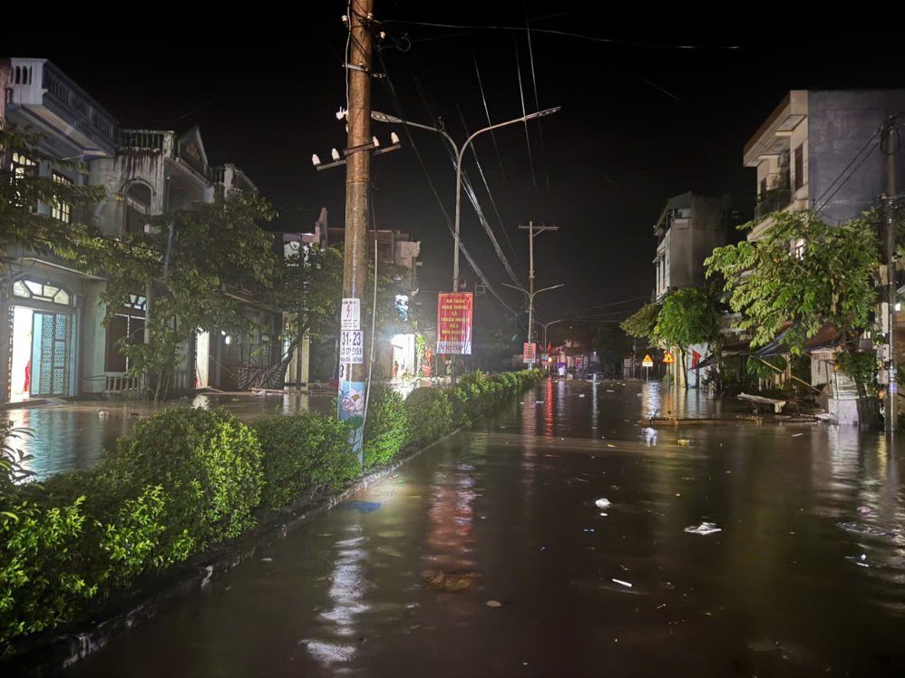
About 500 traffic points were landslides and flooded. Nearly 1,300 business households in markets were affected by rising water.

In That Khe commune alone, damage as of 6 am on the same day is estimated at about 17.8 billion VND, no casualties have been recorded.
Accordingly, water flooded into 650 houses, causing property damage of about 7 billion VND; 250 hectares of rice and crops were deeply flooded, estimated damage of 10 billion VND.
Two spillways in the area are flooded. National Highway 4A through Dai Dong, hamlet 4 and hamlet 2 has sections flooded 1.5-2 m deep, causing traffic to be cut off.
The flash flood also damaged the Keo Ngoa dam in Ban Moi village, causing damage of about 800 million VND.
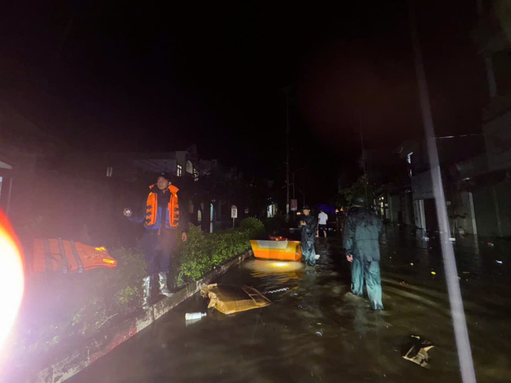
Nearly 700 police officers and soldiers, soldiers, militia and support forces were mobilized to rescue. About 750 households have been taken to safe places.
That Khe commune authorities put up warning signs in deeply flooded areas with strong currents; continue to evacuate people from areas at high risk of flash floods and landslides such as Slam Khuoi, Na Cao, Chi Minh and Ban May.
Due to the rapid increase in floodwater flowing to Ban Lai Lake, the operating unit opened another discharge gate from 5:30 am on August 23.
Three deep discharge gates are operating with a total flow of about 810 m3 per second. The regulation is carried out according to the approved lake operation procedures.
On the Ky Cung River, at 4 am, the water level at Lang Son station reached 256.07 m, exceeding alarm level 3 by about 7 cm.
The meteorological agency forecasts that in the next 6-12 hours, floods will continue to rise and remain above alarm level 3, partly affected by the regulation discharge of Ban Lai reservoir. In the next 12-24 hours, the water level may fluctuate above alarm level 2.
High flood levels are at risk of causing flooding in low-lying riverside areas, flash floods, landslides, riverbank erosion and threatening works in key areas. The level of natural disaster risk due to floods is determined at level 2.
Localities continue to review residential areas along rivers, streams and slopes, maintain on-duty forces, and be ready to evacuate people when dangerous situations arise.


