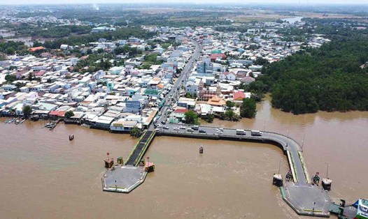
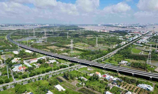
Extending Metro Line 1 to Dong Nai
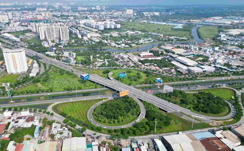
Metro No. 1 (Ben Thanh - Suoi Tien) is nearly 20km long, connecting District 1 with Long Binh Depot (Thu Duc City), and has been in commercial operation since December 22, 2024.
Ho Chi Minh City has agreed with Binh Duong and Dong Nai to extend Metro Line 1 through these two provinces.
According to the plan, from Suoi Tien Station (near the new Mien Dong Bus Station), the route will be built with an elevated section along National Highway 1, then turn left to Binh Thang Station (S0) near Tan Van Intersection (Binh Duong).
From here, the Metro line is divided into two branches to Dong Nai and Binh Duong.
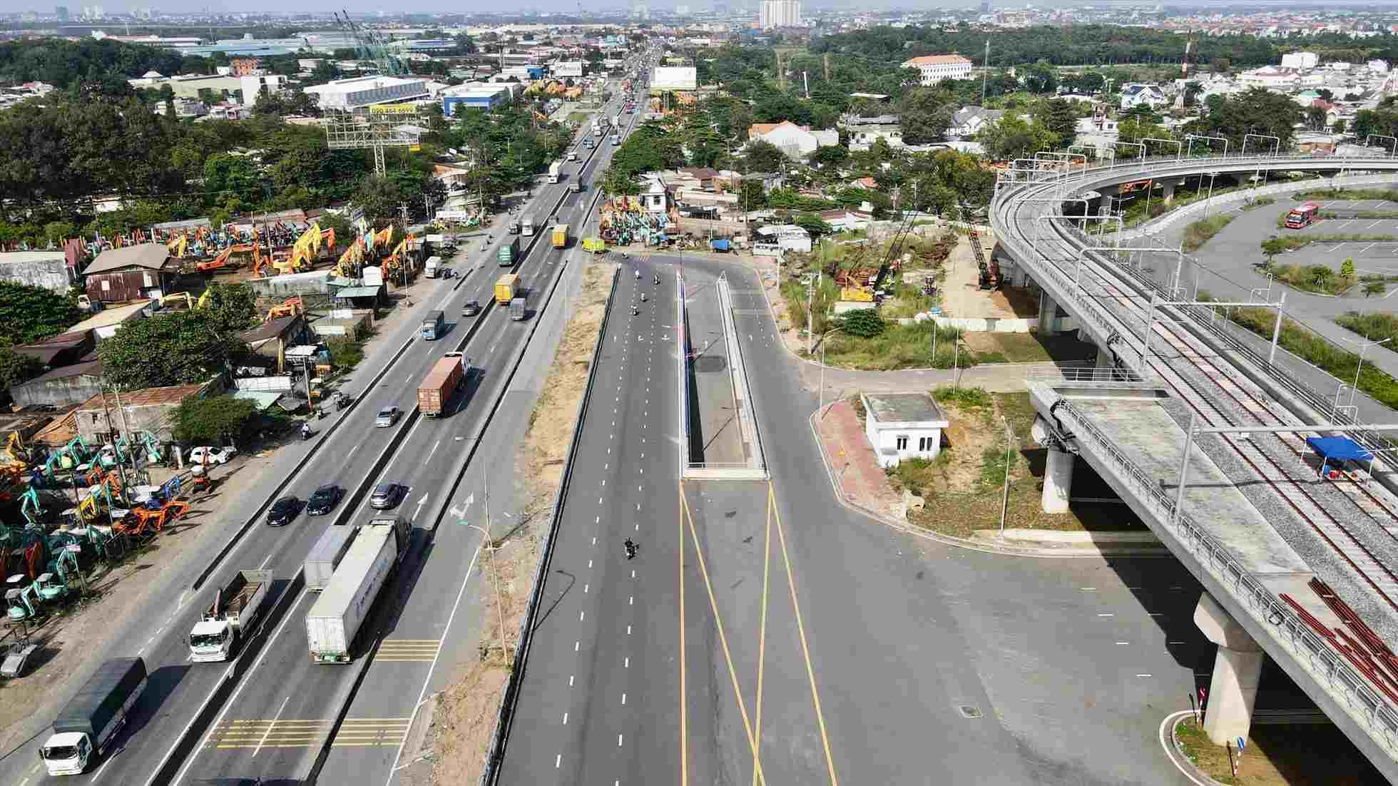
Dong Nai province will invest in a section from S0 station to the depot in Ho Nai 3 commune with a route length of nearly 19km with two options: elevated or underground.
For the section passing through Dong Nai, the total estimated investment is about 30,000 billion VND from the central, local and loans ( grassroots ODA or local bond issuance).
Thu Thiem - Long Thanh Railway
The Thu Thiem - Long Thanh railway project is 41.83km long, of which 11.75km passes through Ho Chi Minh City and 30.08km passes through Dong Nai.
The route has a double track design, 1,435mm gauge, electrification, with a maximum speed of 120km/h (90km/h in the tunnel).
The line starts from Thu Thiem station (Thu Duc city) and ends at Long Thanh airport, with 20 stations (16 elevated stations, 4 underground stations).
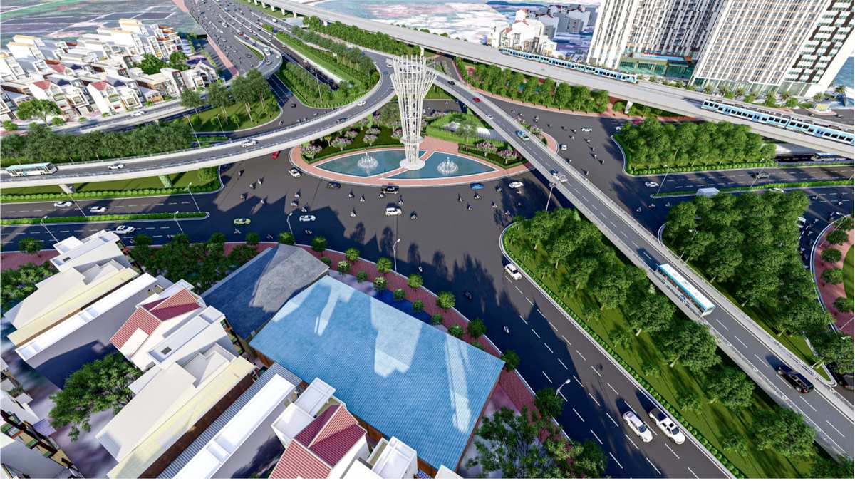
The total investment capital is about VND84,752 billion, of which the cost of site clearance is about VND5,504 billion.
It is expected that the project will be submitted to the National Assembly in 2025, started construction in the fourth quarter of 2026 and be commercially operated from 2030.
Southern coastal road
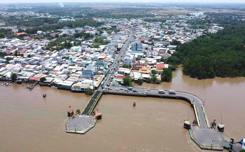
The southern coastal road, connecting Tien Giang through Can Gio district (HCMC) to Dong Nai, has been included in the HCMC planning for the period 2021 - 2030, with a vision to 2050.
The route starts from National Highway 50 (Tien Giang) to the coastal road across Soai Rap River to Can Gio District, connecting Can Gio International Transit Port, Phuoc An Port and extending to Ben Luc - Long Thanh Expressway (Dong Nai).
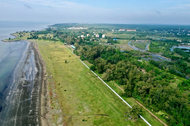
The total length of the route is about 57.4km, of which 38.2km passes through Ho Chi Minh City. The route is expected to be invested in after 2030, with a scale of 4 - 8 lanes.
In particular, the section through Can Gio will combine ground travel, underground travel and overpasses to protect the Can Gio Biosphere Reserve.
The goal of the route is to effectively exploit seaports in Can Gio and Cai Mep - Thi Vai, forming a coastal economic corridor between Ba Ria - Vung Tau, Dong Nai, Ho Chi Minh City and Tien Giang.
Cat Lai Bridge
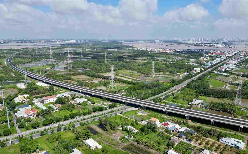
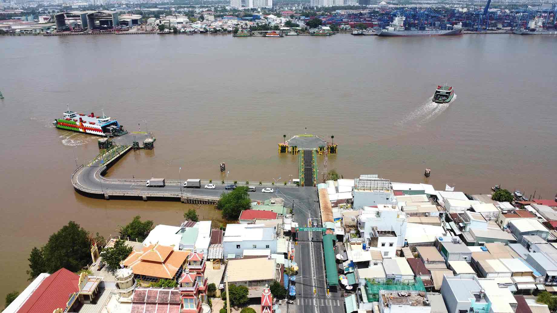
The Cat Lai bridge project has a total length of more than 11km, connecting Thu Duc city (HCMC) with Nhon Trach district (Dong Nai).
The bridge consists of 6 lanes for motor vehicles and 2 lanes for non-motor vehicles, with a design speed of 80-100km/h, with a total investment of more than VND19,000 billion.
Currently, the People's Committee of Dong Nai province is working with Ho Chi Minh City to agree on the design plan and route to the bridge.
Dong Nai 2 Bridge
Dong Nai 2 Bridge will connect Thu Duc City (HCMC) with Long Thanh District (Dong Nai), with a scale of 6 lanes.
The project starts from Ring Road 3 at the Go Cong - Hanoi Highway intersection (Long Thanh My Ward, Thu Duc City) and ends at DT.777B Road (Tam An Commune, Long Thanh District).
Phu My 2 Bridge
Phu My 2 Bridge will connect Nhon Trach District (Dong Nai) with District 7 (HCMC), creating an important traffic axis across the Dong Nai River.
The project has a route from Nhon Trach district, crossing Dong Nai river, following Hoang Quoc Viet road (6 lanes) and connecting to Nguyen Luong Bang street. After that, the bridge will continue to connect with Nguyen Huu Tho Street, contributing to relieving traffic pressure on the existing route.

