At noon on June 12, information from the Steering Committee for Natural Disaster Prevention and Search and Rescue of Quang Tri province said that as of 10:00 a.m. the same day, the water level on the rivers in Hai Lang Delta district had exceeded the warning level, causing heavy damage to agricultural production. At O Lau River, the water level at My Chanh is 0.71m lower than alert level 2, and at Hai Tan is 0.17m.
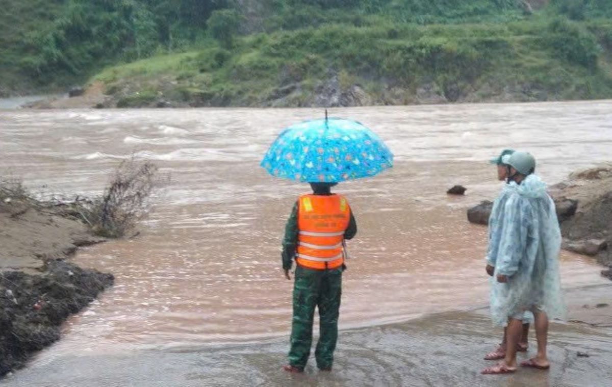
In the mountainous district of Dakrong, spillways such as A Ngo, A Bung and Huc Nhi bridges were deeply flooded, cutting off many traffic routes in mountainous districts, disrupting people's travel.
Heavy rain caused the water level at hydropower plants on Dakrong River to exceed the overflow level by 1-3 3.5m, while in Hai Lang district, the dike in Dong Truong village was flooded from 0.3-0.5m, about 800m long.
The flood warning from June 12 to the end of June 13 shows that rivers in the upstream will rise to alert level 1-2, while downstream will rise to alert level 1. The risk of localized flooding in low-lying areas, along rivers and urban areas such as Dong Ha and Quang Tri town is very high. At the same time, mountainous areas face the risk of landslides, flash floods and landslides on traffic routes.
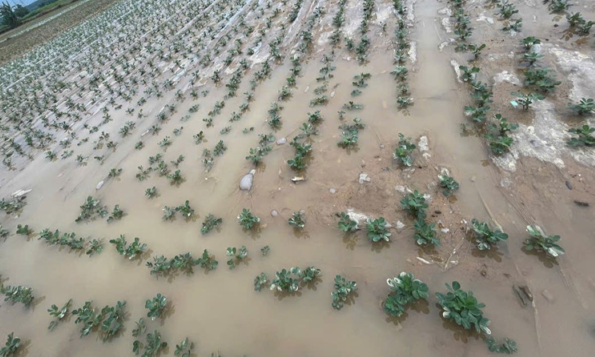
Up to now, floods have inundated 7,946.6 hectares of rice, of which Hai Lang district suffered the largest damage with 5,500 hectares. Vegetable and lotus areas were also severely affected, especially in Cam Lo, Hai Lang and Trieu Phong districts.
Localities are actively implementing remedial measures such as operating pumping stations, dredging canals and building up the dyke banks to limit damage and restore agricultural production.


