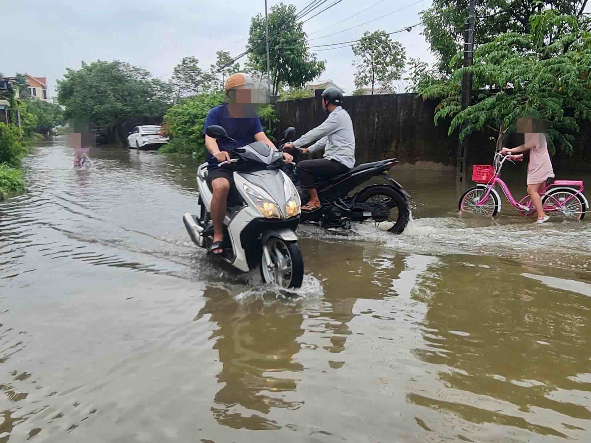
On the morning of June 11, after heavy rain, many roads in Hue such as Ngo Duc Ke, Dang Dung, Nguyen Bieu, Mai Thuc Loan, Le Thanh Ton... were partially flooded.
According to the National Center for Hydro-Meteorological Forecasting, from June 11 to June 13, the Central Central region is likely to experience a period of moderate rain, heavy rain, locally very heavy rain with total rainfall ranging from 100 - 300mm, locally over 450mm.

The Hue City Hydrometeorological Station said that at 1:00 p.m. on June 10, the center of the tropical depression (ATND) was at about 15.3° North latitude - 114.8° East longitude, about 360km East Southeast of Hoang Sa archipelago. The strongest wind is level 6-7 (39-61km/h), gusting to level 9; moving slowly in the West Northwest direction, speed about 5km/h.
It is forecasted that in the next 24 hours, the tropical depression will continue to move in the West Northwest direction at a speed of 5-10km/h and is likely to strengthen into a storm (level 8, gust level 10). In the next 48 hours, the low pressure is likely to strengthen (level 9, gust level 11).
In this situation, Vinasarcom (PCTT&TKCN) of Hue City requires localities to:
Closely monitor weather forecasts and warnings on official channels such as nchmf.gov.vn, hymetnet.gov.vn, Hue-S and the Fanpage of the City Hydrometeorological Station to promptly respond.
Notify ships operating at sea of the location, direction and developments of the tropical depression; guide safety assurance in the anchorage area.
Dangerous areas in the next 24 hours: 13.0° - 19.0° in the North; 111.0° - 117.0° in the East; in the next 48 hours: 14.0° - 20.0° in the North; 109.5° - 117.0° in the East.
Prepare rescue forces and vehicles; be on duty seriously 24/7, regularly report to the Office of the City PCTT & TKCN Command Committee.