
According to a quick report from the Vietnam Road Administration sent to the Ministry of Construction on August 24, rain and floods have affected the road traffic infrastructure system managed by the Central Government, concentrated in the area of Road Management Zone I.
Statistics from the Road Department show that on the Phap Van - Cau Gie expressway (CT. 01), at Km191+300, water flooded the emergency lane and lane No. 3, about 5-7cm deep. The Xom Dam civil tunnel at Km267+348 is flooded up to 70cm deep, causing local congestion. Van Binh pumping station and pumping system at the tunnel are operated to the maximum to drain water.
On National Highway 1 through Thanh Hoa, some sections are flooded 10-15cm, including the eastern bypass.
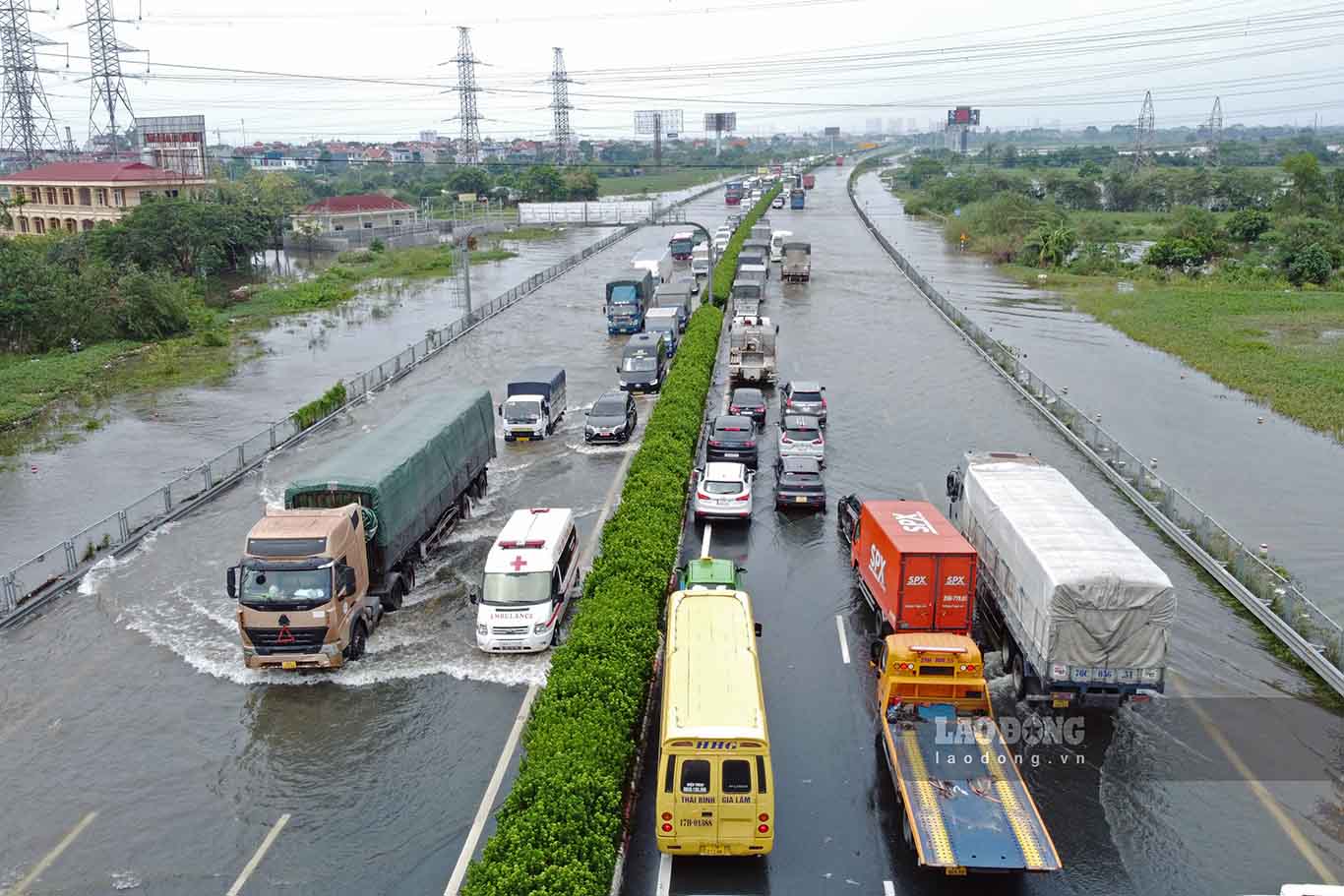
On National Highway 18 through Bac Ninh, the Dai Tan overflow bridge area (Km42+550-Km42+600) at times had water rising 50-80cm on both sides of the route. Currently, the water is receding quickly, and vehicles can circulate normally.
Rain and floods also caused taluy landslides on many routes. On National Highway 6, soil and rocks spilled onto the road surface, filling longitudinal ditches at 75 locations, with a total volume of about 3,990m3. At Km209+970, a negative taluy landslide occurred, the slide is about 10m long, close to the road surface.
On Ho Chi Minh Road section coinciding with National Highway 3, 17 locations of positive taluy landslides were recorded, with about 2,070m3 of soil and rock.
In the northern mountainous provinces, the situation of flooding and landslides is complicated, seriously affecting National Highways, provincial roads and border patrol roads.
According to the Lang Son Provincial Department of Construction, National Highways 1B, 4A, 4B, 3B, 31 experienced positive taluy landslides, soil overflowing the road surface at 101 locations, with a total volume of about 12,621m3.
Notably, at Km156+200 on National Highway 279, a serious rock landslide occurred, causing complete congestion. National Highways 4A, 3B and 4B also recorded 5 deep flooding points causing traffic jams.
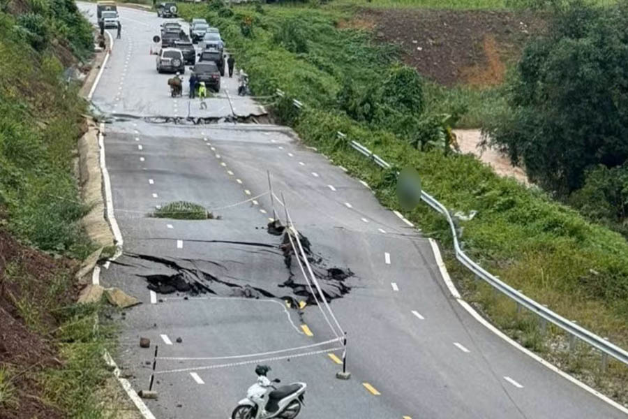
In Cao Bang, National Highway 3 through Phuc Hoa commune, section Km336+600, water overflowed the road surface, at times about 0.5m deep, making vehicles unable to circulate.
Faced with the complicated developments of rain and floods, the Vietnam Road Administration has implemented response plans.
In localities, road management and maintenance forces are required to be on duty 24/24 hours. When an incident occurs, units mobilize manpower and machinery to clear soil and rocks, clear waterways, handle flooded points; and at the same time erect barriers, place warning signs and divert traffic at dangerous locations.
With the motto "proactively responding, urgently overcoming", the forces focus on handling congestion points, prioritizing arterial routes and areas at high risk of unsafety, striving to restore traffic as soon as possible.
According to the Vietnam Road Administration, as of the afternoon of August 24, many flooded and landslide locations causing congestion have been initially handled. Traffic on most national highways and provincial roads is basically maintained, serving travel and cargo transportation needs.


