Weather forecast for the next 24-48 hours, the tropical convergence zone with an axis passing through the North Central region will weaken and fade, establishing a low pressure trough with an axis at about 23-26 degrees North latitude connecting with the low pressure area in the West tending to expand to the East.
The southwest monsoon has medium to strong intensity. Above, the subtropical high pressure will weaken.
Weather forecast for the next 3-10 days, the low pressure trough with an axis at about 23-26 degrees North latitude connecting with the low pressure area in the West will continue to develop and expand to the East. The southwest monsoon will operate at medium to strong intensity from around July 30-31, operating at medium intensity.
Above, from around July 31, the southern branch of the subtropical high pressure tends to encroach on the West and lift its axis to the North, from August 1, there will be a cross- axis through the South, then through the South Central region.
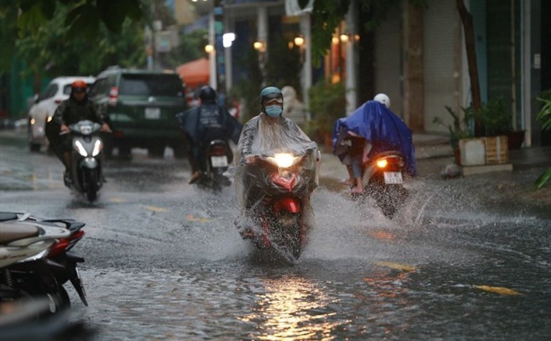
Therefore, the weather in the South will have less rain and only have scattered rain, on July 29 alone, there is a possibility of more rain in many places, some places have moderate rain, heavy rain. During thunderstorms, beware of tornadoes, lightning and strong gusts of wind. Intermittent sunny days.