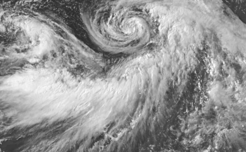
The latest storm information from the Philippine Atmospheric, Geophysical and Astronomical Services Administration said that at 2:00 a.m. on August 1, the center of the low pressure was at about 25.6 degrees north latitude, 131.9 degrees east longitude, 1,160 km east of the northernmost tip of Luzon.
PAGASA said the low pressure is likely to develop into a storm in the next 24 hours.
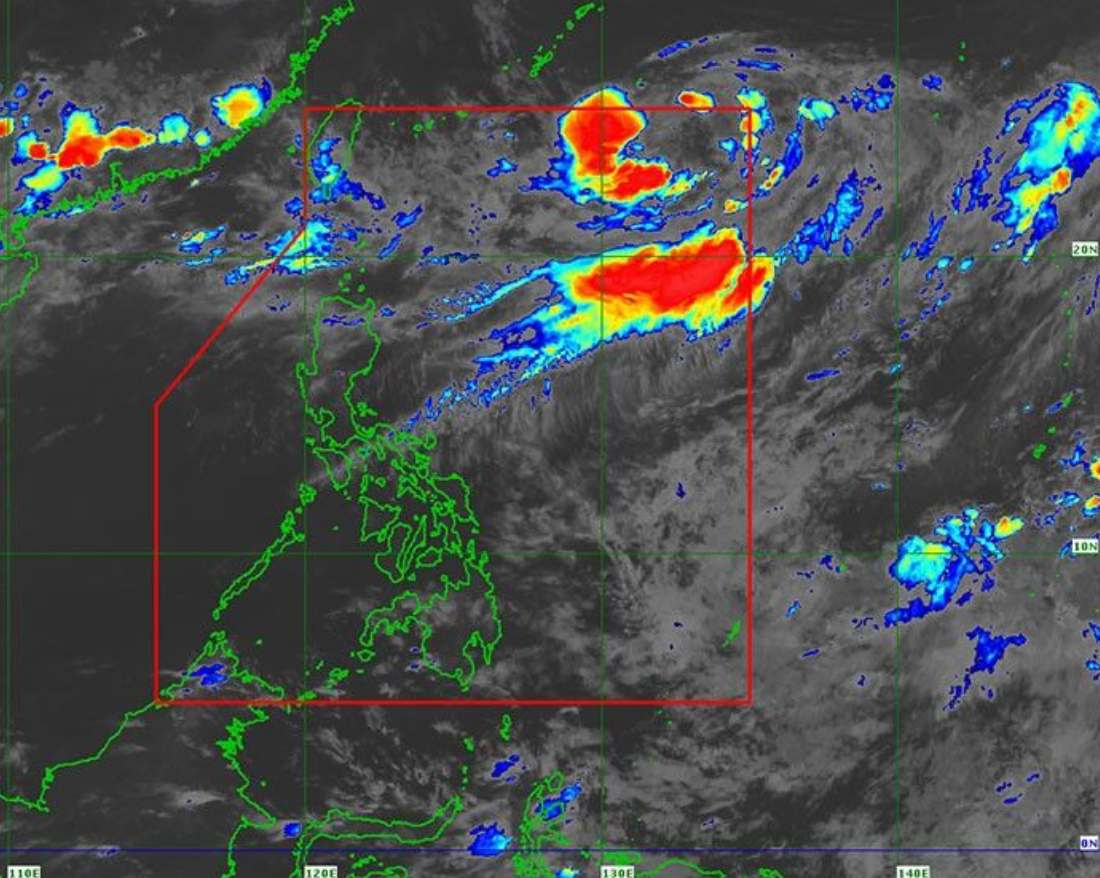
PAGASA weather forecaster Leanne Loreto noted that the low pressure is not expected to directly affect any areas of the Philippines. The low pressure will be locally named Fabian after developing into a tropical depression/storm and entering the Philippine Forecast Area (PAR).
PAGASA added that cloud clusters in eastern Mindanao could also develop into cyclones. Traditionally, two to three typhoons form or enter the PAR in August. If more storms form, they will be named "Gorio" and "Huaning".
PAGASA forecasters have outlined four possible paths for the typhoon in August.
The two scenarios show the storm moving northwest from northern Visayas or Central Luzon to northern Luzon, which could lead to a landfall.
In other cases, the typhoon may turn toward Taiwan (China), southern China or Japan's Ryukyu Islands, avoiding direct impact on the Philippines.
"While these storms are unlikely to have a direct impact, they could intensify the southwest monsoon," said Loreto.
Meanwhile, the southwest monsoon continues to bring scattered showers and thunderstorms across Central and Northern Luzon.
PAGASA forecasts that the monsoon will gradually weaken in the coming days, improving weather conditions, especially over the weekend.
In the next 24 hours, people in the Ilocos Region, Batanes, Babuyan Islands, Apayao, Abra, Benguet, Zambales, Bataan, Nueva Ecija, tarlac and Pampanga could experience clouds, scattered showers and thunderstorms.