Currently, the continental high pressure is strengthening to the South. The tropical convergence zone has an axis through the Central region and the North East Sea. The southwest monsoon is operating at an average intensity. Above, the subtropical high pressure is stable.
On the afternoon of September 22, thunderstorms developed and caused rain, thunderstorms, and lightning in the Can Gio area, Nha Be district, and Binh Chanh district (HCMC). In addition, thunderstorms in the Long An and Tien Giang areas are also expanding and moving toward HCMC.
In the next 0 - 3 hours, thunderstorms will continue to develop, causing showers, accompanied by thunderstorms and lightning in the above districts, then expanding to the entire city.
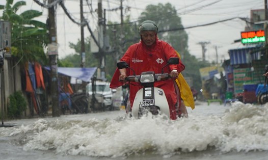
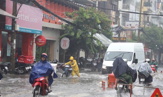
Rainfall is generally 5-10mm, some places over 15mm. During thunderstorms, beware of tornadoes, hail and strong gusts of wind around level 5-7 (8-17m/s), heavy rain causing localized flooding.
In the next 24-48 hours, the tropical convergence zone with its axis through the North Central region and the North East Sea will be compressed to the South and gradually weaken due to the weak strengthening of the continental cold high pressure from the North. The southwest monsoon in the Southern region will have average intensity.
Above, the southern branch of the subtropical high pressure lifts the axis northward through the South and encroaches on the West.
From 72 hours to the 10th day, the low pressure trough with its axis over the North Central region weakens and gradually dissipates. The southwest monsoon operates at a moderate intensity. Above, the subtropical high pressure branch in the south has an axis over the South, from September 26 it will lift its axis to the north over the Central region, then over the North Central region and encroach on the West. The east wind disturbance operates well and affects the weather in the South from September 27-29.
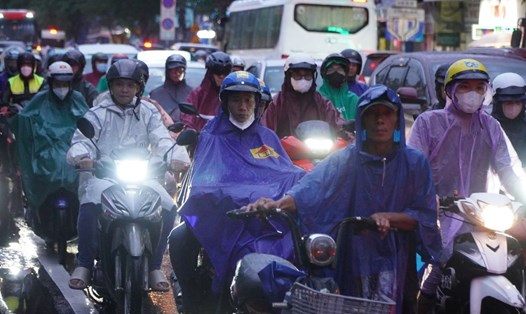
Therefore, the Southern provinces will continue to have widespread rain for the next few days.
In the next 24 hours, the water level at Ta Lai station on Dong Nai river will slowly decrease and fluctuate at a high level of 0.10-0.25m above alarm level II. At Phu Hiep station, the water level will change slowly at 105.28-105.35m (0.15-0.22m below alarm level II).
It is necessary to be on guard against the possibility of heavy rain, combined with floods causing inundation and landslides on river banks and streams in low-lying areas of Dinh Quan and Tan Phu districts (Dong Nai), along La Nga river and neighboring areas.
Regarding high tides, water levels at stations downstream of the Saigon - Dong Nai river system will continue to fall slowly in the next 2-3 days and will be at alert level I to alert level II (1.40-1.50m), then fall rapidly. The high tide peak above alert level I will last until September 23-24.