Weather forecast for the next 24 - 48 hours, the low pressure trough will have an axis through the South, the wind convergence area in the eastern sea area will tend to move gradually to the West towards the southern provinces.
The wind changes direction with weak intensity over the Southern region. Above, the subtropical high pressure with an axis across the North will be stable.
Weather forecast for the next 3 - 10 days, the low pressure trough with an axis through the South - South Central region will remain weak, from around October 14.
Above, the subtropical high pressure has an axis through the North and is stable, from October 14, the southern branch of the subtropical high pressure will be active and encroach on the West.
The wind changes direction with weak intensity over the Southern region. The wind convergence is good in the area from October 14 to 16.
Therefore, the Southern region will have rain, moderate rain, scattered thunderstorms, common rainfall of 15 - 40 mm, locally over 80 mm (rain concentrated in the afternoon and night).
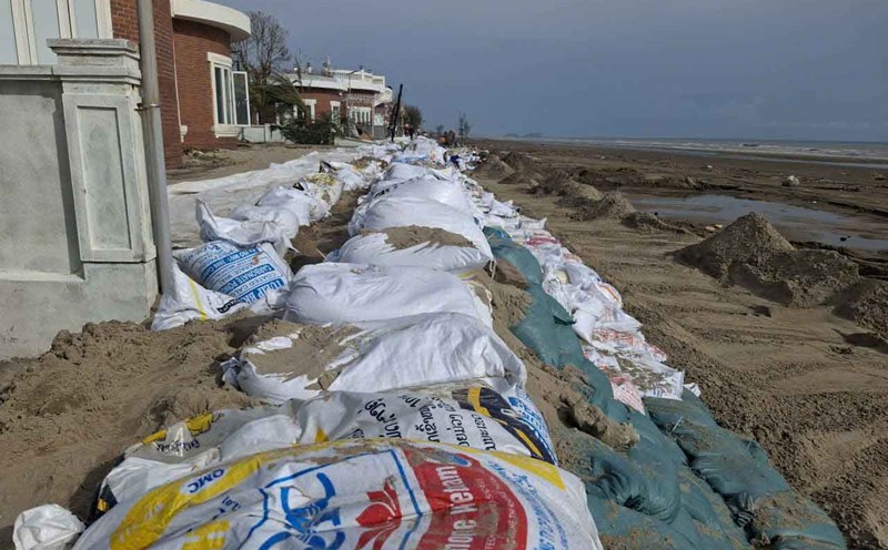
In the downstream area of the Saigon River, the water level at most stations will continue to rise in the coming days following the high tide period for another day and reach high levels, then fall again.
The highest peak tide in this period is likely to appear on October 9, at a level above alert level 3 of about 5 - 10 cm.
Heavy rain combined with high tides is likely to cause flooding in low-lying areas, along rivers and some roads in the inner city.