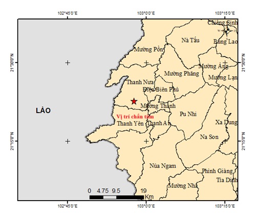
According to the Center for Earthquake Information and Tsunami Warning (Institute of Earth Sciences) at 10:15/12 (July 24), a 3.5-magnitude earthquake occurred in Thanh Nua commune, Dien Bien province.
The coordinates of the earthquake were 21,378 degrees North latitude, 102,961 degrees East longitude; the focal depth of the impact was about 10.1 km. Natural disaster risk level 0.
The earthquake and Tsunami warning center is continuing to monitor the earthquake.
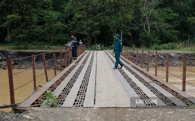
Talking to Lao Dong Newspaper, Mr. Khoang Van Thanh, who is attending a class in Dien Bien Phu ward, said that he clearly felt the earthquake.
"I was sitting in class when I saw the curtain on the podium suddenly shake slightly. The whole class felt it and was surprised. The shaking lasted for 1-2 seconds and then stopped" - Mr. Thanh said.
Previously (May 16), in Muong Cha district (old), a earthquake of 5.0 occurred; the focal depth of the impact was about 10 km. The Institute of Geophysics assesses the risk of natural disasters caused by earthquakes as level 2.
According to Vietnam's classification, earthquakes of equal to or larger than average size of 5 can cause moderate to severe damage to poorly designed construction works.
In the past 100 years, the two biggest earthquakes in Vietnam have occurred in Dien Bien. In 2015, a strong earthquake of 6.9 on the Richter scale, the center of which was located in the south of Dien Bien basin, and in 1983, a strong earthquake of 6.7 on the Richter scale, the center of which was in Tuan Giao district (old).
Fortunately, both of the above earthquakes did not cause much damage because at that time there were not many modern construction works, mainly hills.