On the afternoon of September 19, combined monitoring of satellite cloud images, lightning location data and weather radar images showed that convective clouds still existed in the areas of Tay Ninh, Binh Phuoc, Binh Duong, Dong Nai, Ho Chi Minh City, Kien Giang, and Vinh Long provinces.
From now until the next 4 hours, these convective clouds will cause showers and thunderstorms in the above mentioned area, then continue to develop and expand causing rain in neighboring districts of the above mentioned provinces, neighboring provinces such as Ca Mau, Long An, Ben Tre, Tra Vinh.... During thunderstorms, there is a possibility of tornadoes, lightning, hail and strong gusts of wind.
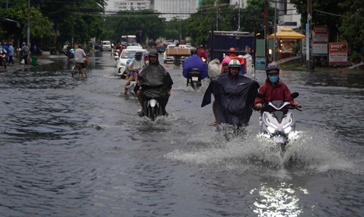
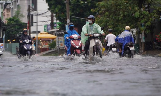
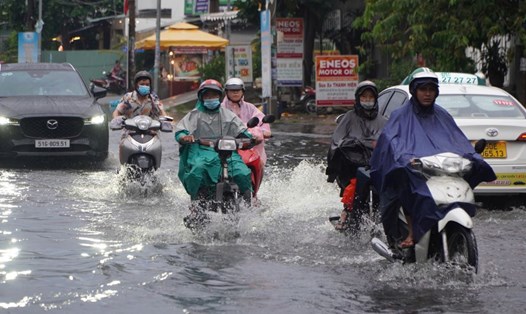
In 24 hours, the Southern region will have rain, moderate rain in many places and scattered thunderstorms, heavy rain in some places. Rainfall amounts are as follows: Dong Ban 51.6mm, Ka Tum 47mm (Tay Ninh), U Minh 41.6mm (Ca Mau), Bu Dang 41mm (Binh Phuoc), Ngan Dua 35.8mm (Bac Lieu)...
From September 19 to September 21, the Southern region will have moderate to heavy rain. Total rainfall is generally 40-80mm, with some places over 80mm. The heavy rain in the region is likely to last until the end of September 21.
In the past 12 hours, the water level at Phu Hiep station (La Nga river) continued to rise slowly, while Ta Lai station (Dong Nai river) changed slowly and remained high. At 1:00 p.m. on September 19, the actual water level measured at Ta Lai station was 112.50m (alarm level II), and Phu Hiep station was 105.16m (0.34m below alarm level II).
It is necessary to be on guard against the possibility of heavy rain, combined with floods causing inundation and landslides on river banks and streams in low-lying areas of Dinh Quan and Tan Phu districts (Dong Nai), along the La Nga river and neighboring areas.
Water levels at stations will rise rapidly in the next 2-3 days. The highest tide peak during this period is likely to occur on September 20-21 (ie August 18-19 of the lunar calendar).
At Phu An and Nha Be stations, the water level is 1.60-1.65m (approximately or 0.05m higher than alarm level III); Occurrence time is from 5-7am and 5-7pm.
At Thu Dau Mot station (Sai Gon river) at 1.65-1.70m (0.05-0.10m higher than alarm level III). At Bien Hoa station (Dong Nai river) at 1.95-2.03 (approximately or 0.05m lower than alarm level II).