Weather forecast for the next 24-48 hours, the tropical convergence zone with an axis passing through the area between the Northern Delta and the North Central region connecting with storm No. 4 in the North East Sea area.
The southwest monsoon has medium to strong intensity. Above, the subtropical high pressure in the southern branch lifts its axis to the North, dominating the South China Sea, the Northwest wind field dominates the South.
Weather forecast for the next 3-10 days, the tropical convergence zone with an axis through the Northern region will weaken and fade, establishing a low pressure trough with an axis at about 23-26 degrees North latitude.
The southwest monsoon will operate at medium to strong intensity. Above, the subtropical high pressure in the southern branch from around July 26 will weaken, the high-altitude Northwest wind field will gradually shift to the West to the Southwest wind dominating the Southern region.
By around July 30, the southern subtropical high pressure will tend to encroach on the West again and gradually lift its axis to the North, from around August 1 there will be a cross- axis through the South.
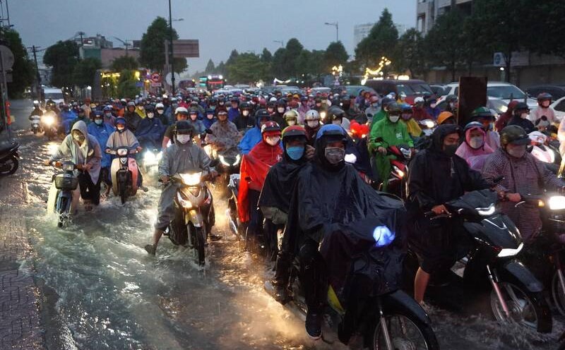
Therefore, the weather in the Southern region on July 25 and from July 29-30, the clouds will change, the days will be sunny, the evening will have scattered showers and thunderstorms, locally moderate rain; little rain at night. During thunderstorms, beware of tornadoes, lightning, hail and strong gusts of wind.
The highest temperature ranges from 32-34 degrees Celsius, some places above 34 degrees Celsius. The lowest temperature is from 25-27 degrees Celsius.
On July 26-28, the clouds will change to cloudy, with intermittent sunshine during the day, scattered showers and thunderstorms in the afternoon and evening, with moderate to heavy rain in some places. During thunderstorms, beware of tornadoes, lightning, hail and strong gusts of wind.
The highest temperature ranges from 31-33 degrees Celsius. The lowest temperature ranges from 24-26 degrees Celsius.