According to the National Center for Hydro-Meteorological Forecasting, in July, on rivers in the Northern region, there were 3 concentrated floods from June 30 to July 3, from July 11 to 13 and from July 23 to 24.
Phase 1 (from June 30 to July 3), on the rivers: Thao River (Red River), Lo, Gam, Cau and some small rivers in the Northern region, a flood with a flood amplitude at stations from 1.5m - 5.0m appeared. During this flood, the peak flood level at upstream stations of Thao, Lo, Gam rivers and some small rivers and streams reached alert level 1 to alert level 2, the flood peak on other rivers was below alert level 1...
In the second phase (from September 11 to 13), a small flood appeared on the Thao River with flood amplities at stations from 1.5m to 2.0m. During this flood, the peak water level at stations on the Thao River is below alert level 1.
Phase 3 (from July 23 to 24), downstream of the sports river at Yen Bai station, there was a flood with a flood amplitude of up to 3m, the flood peak of Thao river at Yen Bai station was below alert level 1.
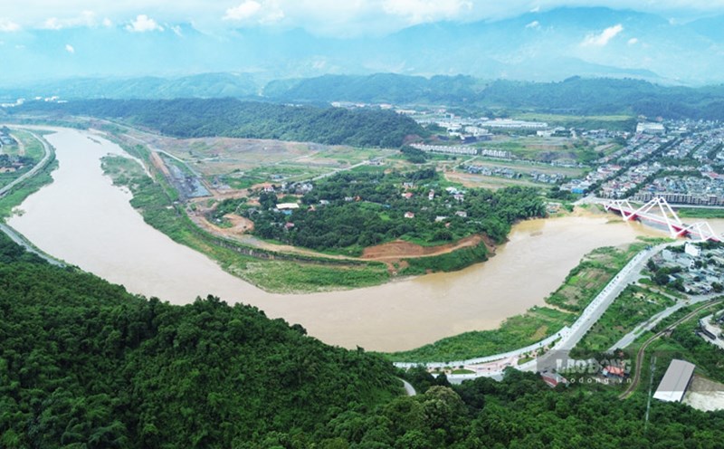
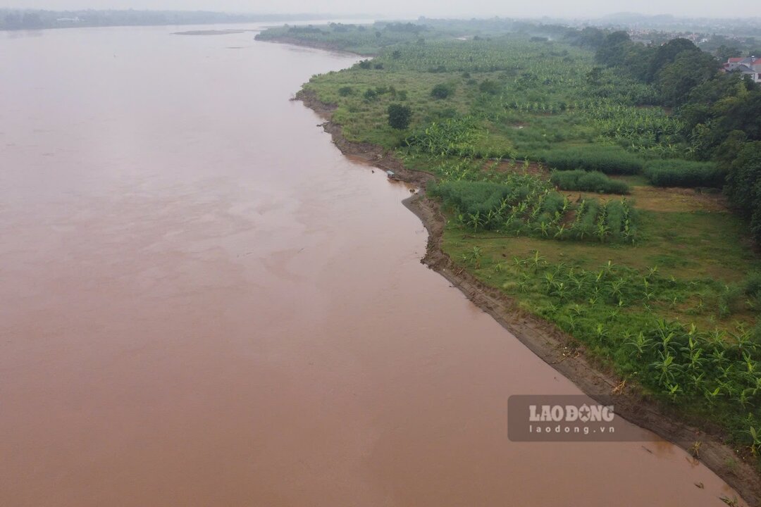
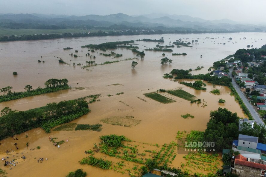
According to the reporter of Lao Dong Newspaper in mid-August, the water level of the Thao River section passing through the old Yen Bai province (now Lao Cai province) and Phu Tho province is quite high and is rising slowly, the sand dunes floating in the middle of the river at the time of dry water have been obscured by floodwaters.
Back in September 2024, due to the impact of Storm No. 3 Yagi, many rivers in the North had major floods. For the Thao River alone, in the middle of September 2024, many places exceeded alert level 3, even surpassing the historic flood mark in 1968
However, according to the National Center for Hydro-Meteorological Forecasting's seasonal hydrological forecast and warning bulletin, from now until the end of September 2025, there is a possibility of 2-3 floods on main rivers in the North, with peak flood water levels on main rivers in the Northern region at alert level 1 to alert level 2...
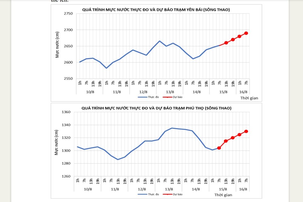
It is forecasted that in September 2025, the actual water level measured at Yen Bai station (Lao Cai province) will be about 27.50m on average, the lowest will be 26.00m, the highest will be 31.00m (at 5:00 a.m. on September 11, 2024, the water level at Yen Bai station will be 34.79m, exceeding the historical flood level in 1968 by 0.37m).
At Phu Tho station, the actual water level of Thao River measured in September 2025 is forecast to be about 13.80m on average, the lowest is 12.50m, the highest is 16.00m (at 5:00 a.m. on September 11, 2024, the water level at Phu Tho station was 18.27m, 0.07m above alert level 2).
According to the forecast, by October and November 2025, the water level in the Thao River will gradually decrease.