In 2024, the water level of the Red River running through Lao Cai province will fluctuate many times, with unusual highs and lows.
The impact of Typhoon Yagi in 2024 has caused a lot of damage to people and property, causing the Red River to rise, overflowing the entire river embankment.
The rapid and sudden rise of floodwaters has caused many houses along the banks of the Red River in the old Lao Cai city to be flooded.
Along with that, it affects works and trees along the river and threatens the safety of people, causing local authorities to spend a lot of time and effort to handle.
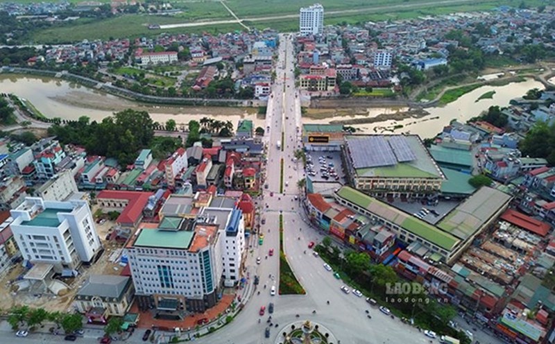
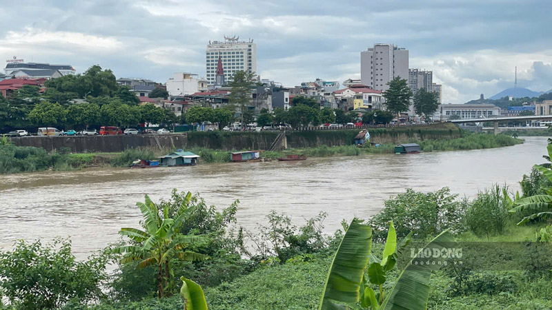
In mid-July 2025, after nearly 1 year of the historic storm and flood, Lao Dong Newspaper reporters were present in the Red River area, Lao Cai Ward to record the water level here.
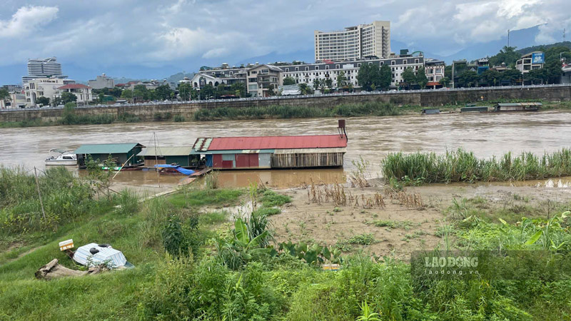
According to observations, in contrast to the dry scene for many months after Typhoon Yagi, the early rains of the season have caused the Red River to rise, no longer depleted.
Even in the first 2 weeks of July, the Red River water level has risen, submerging many alluvial plains along the river, making people extremely worried.
In recent days, after the impact of storm Wipha 2025 causing heavy rain in many areas in Lao Cai province, the water level of the Red River has not fluctuated much.
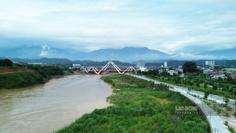
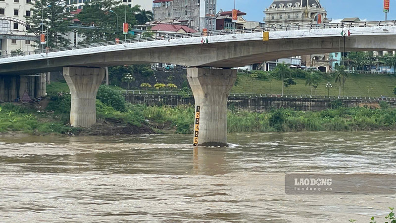
In fact, it is noted that at Phu Thinh, Pho Moi and Coc Leu bridges across the Red River, the river water here has not risen. The alluvial plains and sandbanks along the riverbank are still not flooded.
Ms. Nguyen Thi Xuyen (Lao Cai ward) shared: Last year's storm Yagi left a lot of damage to Lao Cai province that has not been completely overcome. These days, there is also a lot of rain, but fortunately the Red River is still safe. We also hope that the Red River water level will not rise like last year."
According to information from the Lao Cai Provincial Hydrometeorological Station, the water level of rivers and streams in the province is currently fluctuating slightly due to the regulation of upstream hydropower plants, and is always below alert level I.
It is forecasted that from the morning of July 22-25, due to the impact of widespread heavy rain, all rivers and streams will simultaneously experience a large flood. The flood amplitude ranges from 3-5m, with small and medium streams over 5m high, with a high risk of flash floods in some small streams and creeks.
During this flood, flood peaks on major rivers are likely to reach alert level I to alert level II. The peak flood time on rivers and streams in the northern part of the province is likely to occur on the afternoon of July 23-24. The southern region appeared later on July 25-26.
On the Red River in Lao Cai, the highest flood peak is likely to reach 82.50-83.50m. In Yen Bai, the largest flood peak is likely to reach 30.00-31.00m.
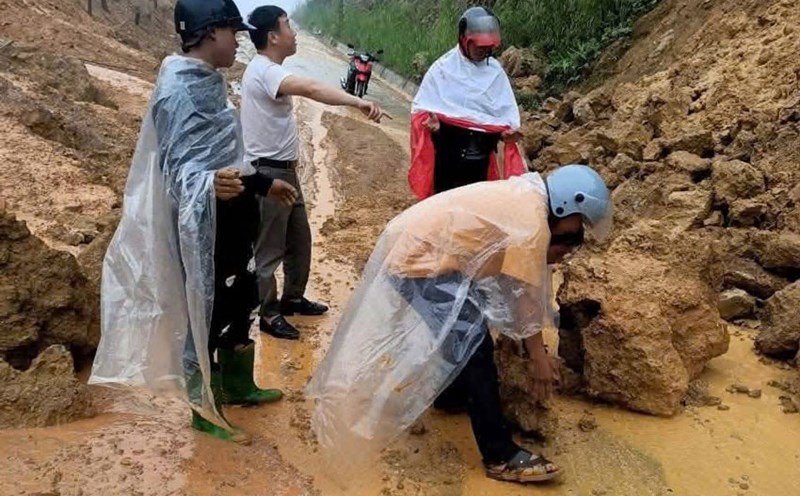
The authorities recommend that the water level on rivers and streams rise accompanied by heavy rain, so there is a risk of flooding in low-lying areas along rivers, bridges and culverts; causing landslides on traffic routes along rivers.
People in localities, especially in mountainous areas, need to be on guard against flash floods that threaten human life, burying houses, properties, and crops of all kinds. Breaking the banks and overflowing the banks of aquaculture ponds affects socio-economic activities.
The circulation of Typhoon Yagi in 2024 caused widespread heavy rain, the Red River water rose to a record level, causing more than 2,100 households in the old Lao Cai city to be flooded and landslides, causing damage of about 800 billion VND.