Information from the Hydro-Meteorological Forecasting Department, at 1:00 p.m. on October 1, the water level on the Da River in Trung Ha (Hanoi) was measured at 12.84m (under BD1: 2.16m); on the Red River in Son Tay was 11.28m (under BD1: 1.12m), in Hanoi was 9.26m (under BD1: 0.24m); on the Duong River in Thuong Cat was 8.55m (under BD1: 0.45m); on the Day River at Ba Tha station was 6.40m (under BD2: 0.10m).
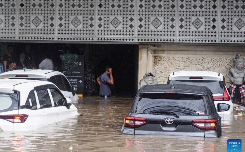
The Hydro-Meteorological Forecasting Department warned that water levels on rivers in the Hanoi area will continue to rise with an amplitude of 0.5 - 1.5m, the total flood amplitude for the entire period is about 6.0 - 8.0m. During this flood, the flood peak on the Da River is below level 1; on the Red River, the Duong River is at approximately level 1 to above level 1; the flood peak on the Day River is from level 2 to above level 2. Floods on rivers at high altitudes cause flooding in low-lying areas, floating areas in the middle of rivers, and riverside areas with common flooding depths of 0.2 - 0.5m, some places are flooded deeper; the flooding time can last 2 - 3 days.
Rising river water levels pose a potential risk of landslides and flooding in low-lying areas along the river, affecting the safety of weak dykes, culverts, spillways, bridges, culverts, and traffic routes in the areas along the Da River, Red River, Duong River, and Day River (Xuan Mai Commune, Quang Bi Commune, Tran Phu Commune, Chuong My Ward, Dan Phuong Commune, My Duc Commune, Thanh Oai Commune, Hoa Xa Commune, Van Dinh Commune, etc.).
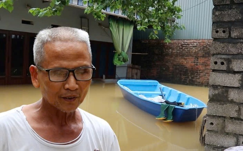
Floods, inundation and landslides also directly affect people's lives, many industrial parks, aquaculture, agricultural production and transportation areas.