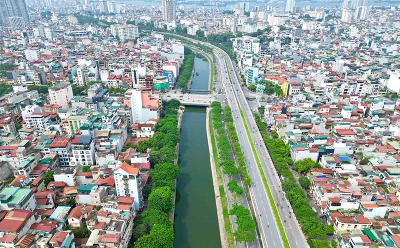
The Department of Dyke Management and Natural Disaster Prevention (Ministry of Agriculture and Environment) said that according to information from the Department of Irrigation and Water Resources of Phu Tho, the roof of the right Thao dike has collapsed, not the dike has broken. Landslides on old flower growing areas of the people. This beach has existed for hundreds of years, under Phong Chau bridge, on the right bank.
For many days now, due to the high and fast-flowing water of the Thao River, on the left and middle of the river there is a alluvial plain, the flow into the alluvial area causes landslides very quickly. Every day, landslides occurred with a width of 10-20m, the landslide area was nearly 20ha, at the end of this alluvial section was a residential area, but there were still people and dykes away.
Information from the People's Committee of Tam Nong commune (Phu Tho province) shows that due to the impact of floods and storm No. 5, a large amount of water from upstream flowed in, the water level on Thao and Da rivers flowed rapidly, causing serious landslides.
The army and police of Tam Nong commune are assigned to coordinate with the Economic Department and residential areas in the commune to be on duty, monitor landslides, and prepare forces to promptly support people in evacuation (if necessary).
The Commune Military Command coordinated with the Economic Department and the above residential areas to conduct duties and inspections, monitor landslides, and prepare forces to promptly support the evacuation of people if necessary.
The Public Service Center promotes propaganda to all people in the commune to know about landslide areas, warns of dangers, and strictly prohibits people and livestock from getting near.


