
According to forecasts, from the night of July 9 to July 11, due to the influence of a low pressure trough connected to super typhoon Bavi combined with a high-altitude wind convergence zone, Lao Cai province will have moderate to heavy rain, common rainfall from 40-80 mm, many places over 150 mm. In thunderstorms, there is a possibility of tornadoes, lightning, hail and strong gusts of wind.
Heavy rain concentrated in the areas of Lao Cai, Bat Xat, Van Ban, Bao Yen, Bao Thang, Bac Ha, Si Ma Cai, Muong Khuong, Sa Pa and some neighboring localities.
Along with heavy rain, from July 9-10, rivers and streams in the province are likely to experience a flood with an amplitude of 2-4 m.
The peak flood water level on the Thao River at Lao Cai station may reach alarm level 1; at Yen Bai station and Ngoi Thia river below alarm level 1. Many small rivers and streams are also forecast to have flood peaks close to alarm level 1.
Functional sectors warn of the risk of flooding in low-lying areas, especially in communes and wards such as Cam Duong, Muong Khuong and some other localities in the province.
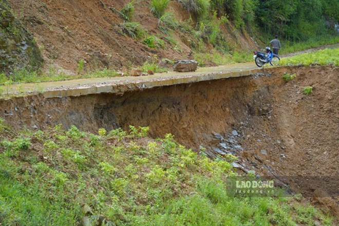
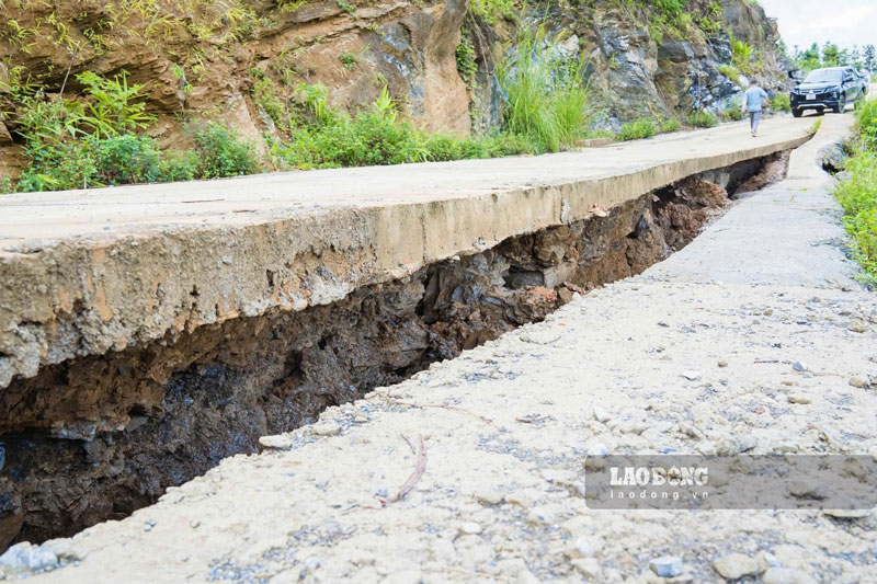
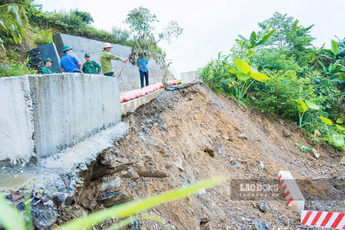
Prolonged heavy rain also increases the risk of flash floods on small rivers and streams, landslides in hilly areas with steep terrain and localized flooding in low-lying areas and urban areas.
In addition, thunderstorms, tornadoes, lightning and strong gusts of wind can cause damage to houses, infrastructure works, affect agricultural production, transportation, aquaculture and people's lives.
The Department of Agriculture and Environment requests localities to urgently review areas at high risk of flash floods, landslides, and flooding to proactively develop response plans; and at the same time strengthen propaganda and guide people to implement measures to ensure safety of people and property, minimizing damage caused by natural disasters.


