In recent years, the Red River (Thao River) passing through Phu Tho province has often fluctuated, many large sand dunes emerged along the river, the flow changed, sometimes the river dried up (the shallowest was in June 2023) or the flood peaked (surpassing the historical flood in September 2024).
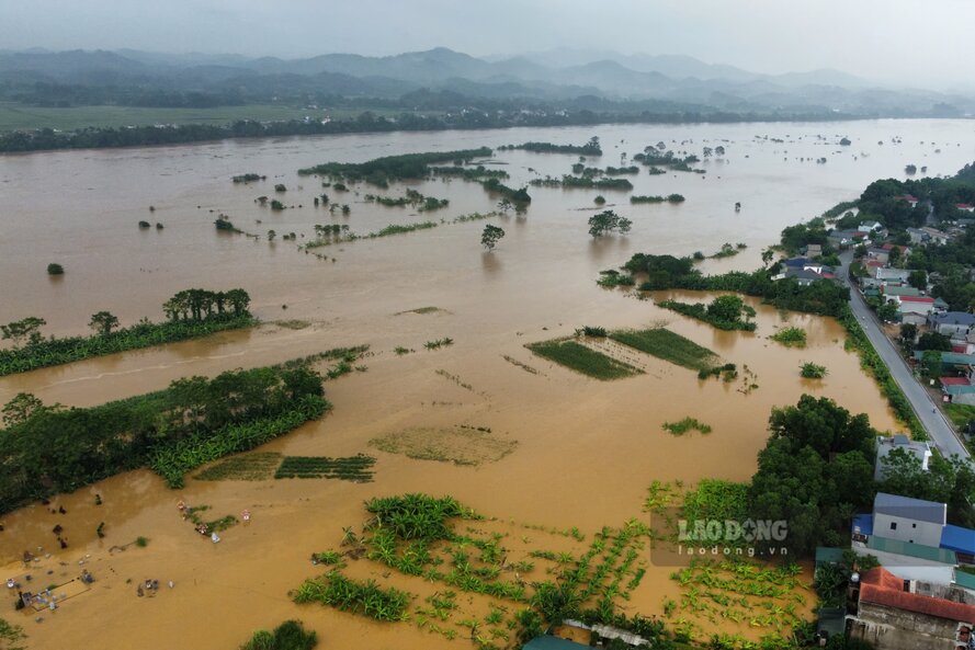
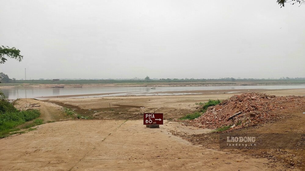
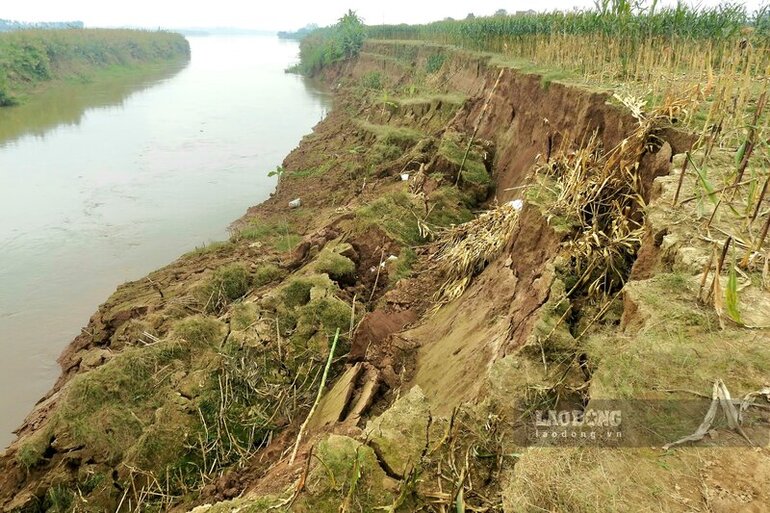
The unstable flow has caused many riverbank landslides, affecting the structure of traffic works, causing property damage and threatening the safety of people, forcing the State to spend a lot of money to handle.
Some landslides on the left bank of the river include: Phung Nguyen commune, Lam Thao district (November 2023); Ban Nguyen commune, Lam Thao district (August 2024); Xuan Ang commune, Ha Hoa district (August 2024). On the right bank of the river, such as Bac Son commune, Tam Nong district (August 2022); Tuy Loc commune, Cam Khe district (December 2023)...
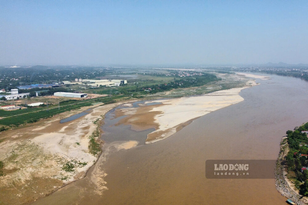
According to a reporter from Lao Dong Newspaper on November 8, the water level of the Red River in Phu Tho Province is much lower than the peak flood level 2 months ago. Along the river, many alluvial sandbanks and large sand dunes several kilometers long have emerged.
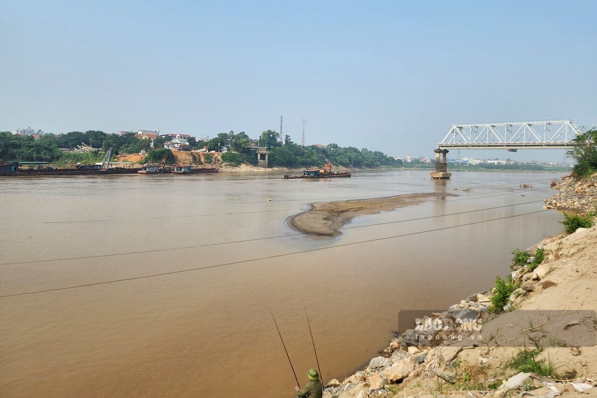
However, compared to just about a week ago, the current water level has risen higher. This is even more evident in the Phong Chau bridge area, where on November 2 the water level was low, revealing large sand dunes that receded deep under the bridge... However, on November 8, the sand dunes had "reduced" because they were obscured by river water.
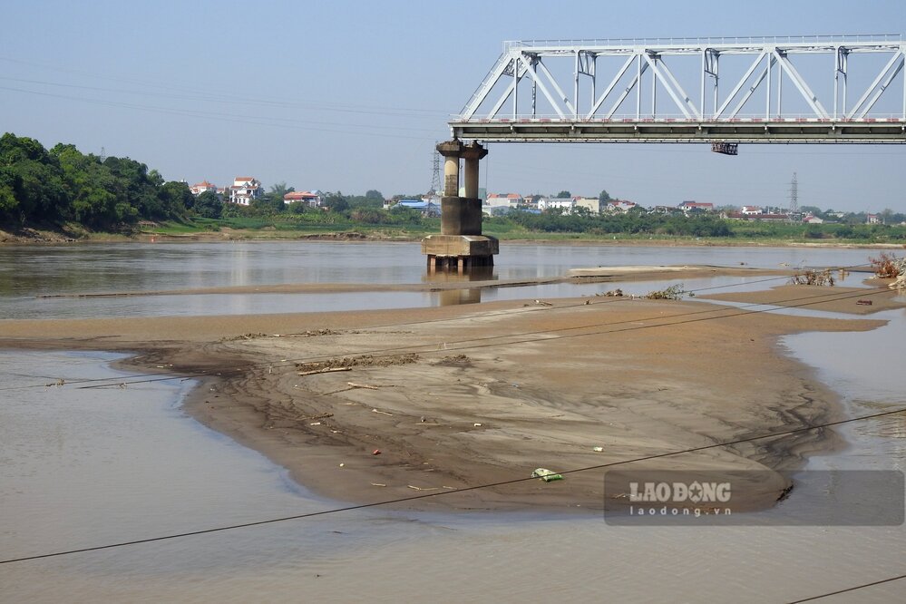
According to the short-term hydrological forecast and warning bulletin of the National Center for Hydro-Meteorological Forecasting on November 7, the actual water level measured at the Red River at Phu Tho station at 1:00 a.m. on November 6 was over 11.70 m, and by 7:00 a.m. on November 7, the water level had risen to 12.50 m.


