
In recent days, in many localities such as: Dien Bien, Lai Chau, Lao Cai, Thai Nguyen... there have been heavy rains, some places experienced floods and flash floods in rivers and streams, causing many damages.
On July 10, the National Center for Hydro-Meteorological Forecasting issued a warning of flash floods, landslides, and subsidence due to rain and floods or currents in the Northern provinces.
Accordingly, in the past 24 hours (from 7:00 AM on July 9th to 7:00 AM on July 10th), the Northern provinces have had moderate to heavy rain, with very heavy rain in some places such as:
Ta Total 131.4mm (Lai Chau); P.Na Lay 97.8mm (Dien Bien); Hua Trai 215mm (Son La); Bang Luan 119.8 mm (Phu Tho); Thac Ba Hydroelectric Dam 143.6mm (Lao Cai); Trung Minh 156.6mm (Tuyen Quang); Phuc Luong 327.4mm (Thai Nguyen); Ba Che 158.2mm (Quang Ninh)...
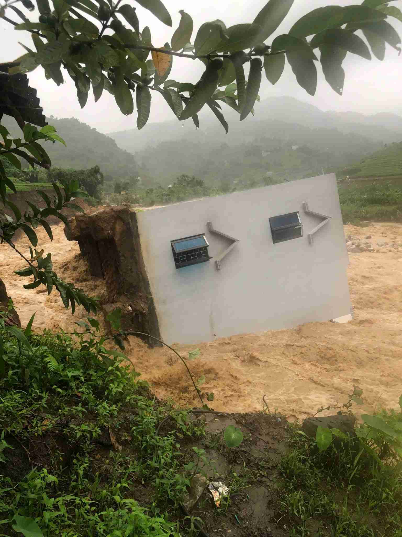
In the next 3-6 hours, the Northern provinces will continue to have rain with accumulated rainfall commonly from 5 - 15mm, in some places over 30mm.
Warning in the next 6 hours, there is a risk of flash floods on small rivers and streams, landslides on slopes in many communes/wards of the provinces: Lai Chau, Dien Bien, Son La, Phu Tho, Tuyen Quang, Thai Nguyen, Quang Ninh.
Many days of rain also caused the water level on major rivers to change significantly. With the Thao River (Red River) section passing through Lao Cai and Phu Tho provinces, floodwaters from upstream poured in, causing the water level to rise.
According to the reporter of Lao Dong Newspaper on the morning of July 10, the water of the Thao River section passing through Phu Tho is muddy, carrying mud, trees, garbage... flowing downstream.
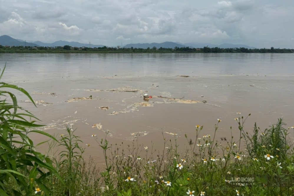
When floods come, alluvial grounds, sand dunes and low-lying areas along the river are gradually obscured by floodwaters.
Mr. Tran Van Ton - Owner of Tinh Cuong ferry wharf (connecting Chi Tien commune with Hung Viet commune) - shared: "In recent days, the water level of the Red River has risen. The operation of ferries and ferries has become more convenient than when the river dried up a few months ago.
According to the forecast bulletin, short-term hydrographic warning on July 10 of the National Center for Hydro-Meteorological Forecasting, the water level of the Thao River at Yen Bai station has risen and has peaked at 28.10m (at 1 am on July 10), below alarm level 1, currently decreasing; at Phu Tho station is rising.
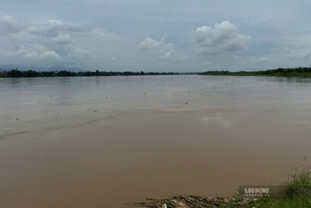
The water level table, actual measured flow and forecasts of the stations show that at 7:00 PM on July 9, the water level of the Thao River at Yen Bai station was 27.96m, and by 7:00 AM on July 10 it was 27.79m and is decreasing.
At Phu Tho station, the water level of the Thao River at 7:00 PM on July 9 was 13.21m, and at 7:00 AM on July 10 was 13.81m and is rising.
Throughout July, it is forecast that 2-3 floods are likely to occur on the Thao River. The water level of the Thao River at Yen Bai station averages about 25.50m per month, the lowest is 24.00m, the highest is 30.50m. For Phu Tho station, the average forecast for December is 4.40m, the lowest is 11.50m, the highest is 15.00m.


