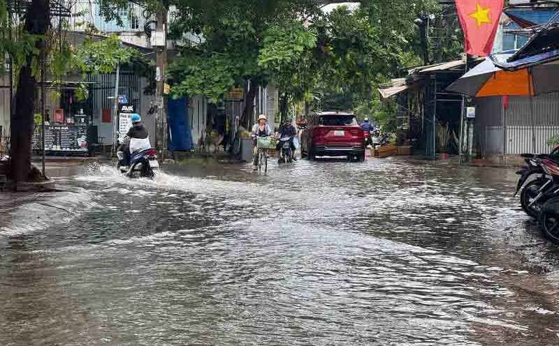
According to the Southern Hydrometeorological Station, the rainfall from 7pm on August 20 to 8am on August 21 was over 100 mm in some places such as Nha Be 129.0 mm, Thuan An 117 mm...
On the day and night of August 21, Ho Chi Minh City and the South will continue to have rain, moderate rain and thunderstorms (20-40 mm, locally heavy rain over 80 mm). Risk of heavy rain over 100mm/3 hours in some places.
The cause of the rain is due to the continued wind convergence in the Northeast. The southwest monsoon is gradually increasing in intensity. Above, the disturbance area formed offshore from Lam Dong - Ca Mau will move west towards the mainland of the South Central and Southern provinces.
In addition, the water level at most stations on the Saigon River system will continue to rise following the high tide in early July of the lunar calendar. The highest peak tide in this period is likely to appear on August 24-26.
At Phu An and Nha Be stations, it may reach 1.45-1.50 m (roughly or 0.05 m below alert level II). The time of occurrence is from 5-7am and 4-6pm.
At Thu Dau Mot station (Sai Gon river), it is at 1.50-1.60 m (alarm II-III).