
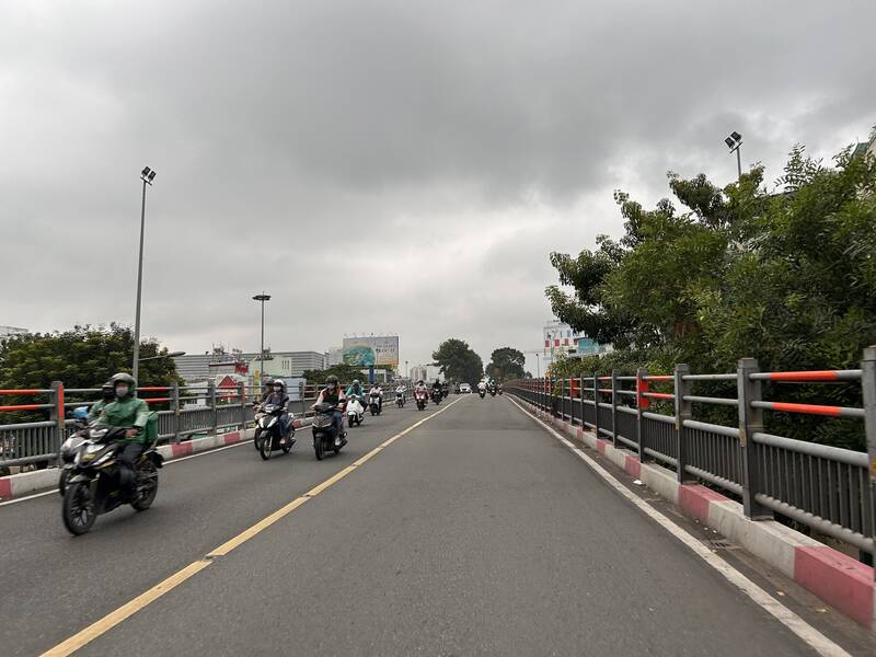
Records show that the sky in Ho Chi Minh City is cloudy and sunny. From the morning, thunderstorms developed rapidly in the area, some places experienced gusts of wind and signs of localized thunderstorms.
Monitoring on satellite cloud images, weather radar images and lightning positioning shows that the convective cloud area is developing strongly, causing showers with thunderstorms and lightning in many areas of Ba Ria - Vung Tau province before. Some places have strong radar response intensity in wards/communes such as Vung Tau, Tam Thang, Rach Dua, Phuoc Thang, Long Huong, Ba Ria, Tam Long, Dien Hong, Cho Quan, Cau Ong Lanh...
In the next 3 hours, convective clouds will continue to develop, causing showers and thunderstorms in the above areas, then it is likely to expand to neighboring areas. Common rainfall is from 5-20mm, in some places over 30mm.
During thunderstorms, it is necessary to watch out for tornadoes, lightning, hail and strong gusts of wind at level 5-7 (8-17m/s). Heavy rain can cause localized flooding in low-lying areas.
The cause of thunderstorms is a low pressure trough with its axis passing through the Southern - South Central region, combined with southwest winds operating with medium intensity over the Southern sea areas.


