According to the report of the Quang Tri Provincial Civil Defense Command, as of 5:00 p.m. on August 30, due to the impact of storm No. 6 causing prolonged heavy rain, the whole Quang Tri province is recording significant damage to agriculture, transportation and infrastructure, especially in mountainous areas.
The water level on the rivers rose rapidly, in which the Hieu River at Dau Mau station exceeded alert level 3. On the Gianh, Kien Giang and Le Thuy rivers, the water level also exceeded alert level 1 and 2 by 0.35 to 2.38m. Some other small rivers are still below alert level 1.
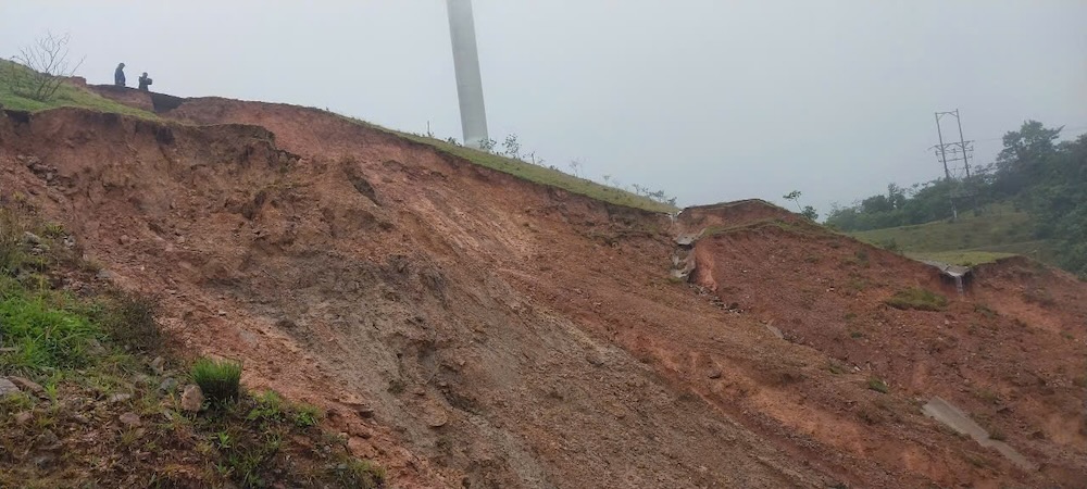
The whole province currently has 17 flooded, isolated and locally isolated locations in communes such as Kim Phu, Dakrong, Hieu Giang, Huong Hiep, Huong Phung, Thuong Trach, Dan Hoa, Truong Son, etc.
Many national and provincial highways, especially National Highway 9B, DT 571, DT 588a, DT 559B, were flooded from 0.3 to 2m deep, paralyzing traffic. Some locations were swept away by floods, landslides, and road breaks, forcing fences, guarding, and prohibiting people and vehicles from passing.
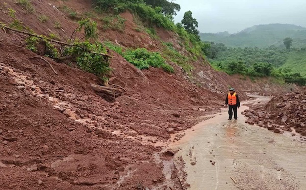
Landslides occurred on the Ho Chi Minh Highway West branch, Huong Phung - Lao Bao patrol road, Provincial Road 585C, DT 571... Many sections were flooded with rocks and soil, causing complete traffic disruption.
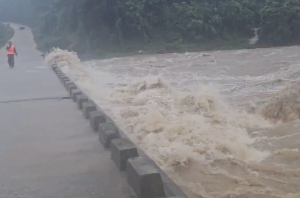
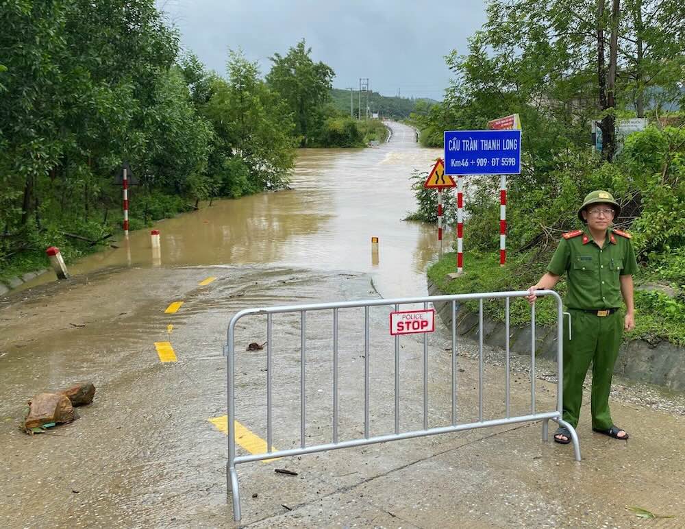

Initial damage to agricultural production was recorded with 624.65 hectares of Summer-Autumn rice and 65.5 hectares of crops falling and flooding, concentrated in Hieu Giang, Ninh Chau, Tuyen Phu and Phong Nha communes. Localities are continuing to count and overcome.
The authorities are on duty to respond, and continue to review and update the situation to promptly support people in flooded areas.


